

Map tips: each color represents a different day. Click a marker to learn more about the spot, and click the star in the map header to save the entire map under Your Places in Google Maps.
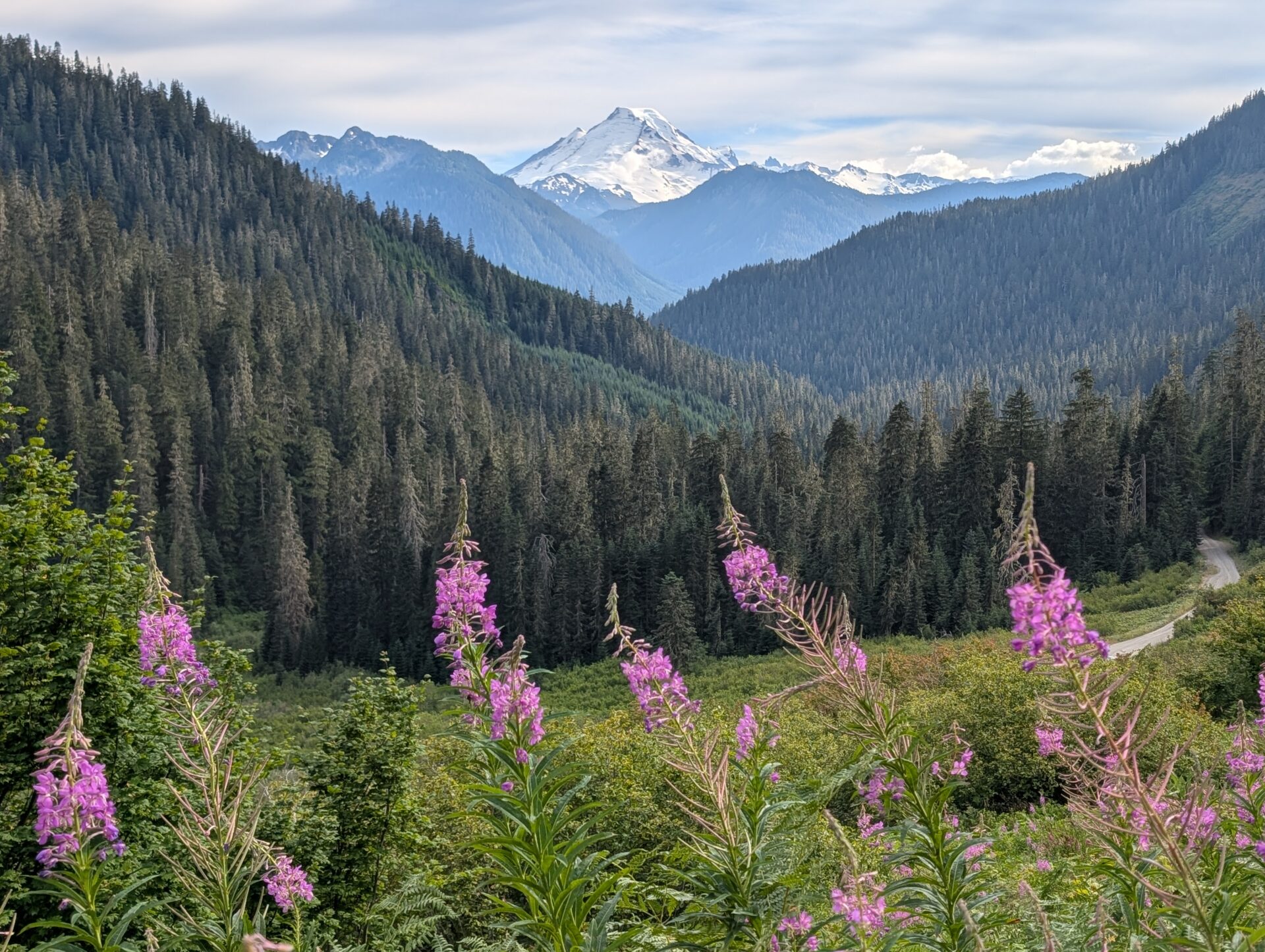
This trip further solidified my stance that Washington has the best mountain scenery in the United States (see previous Trip Reports here and here). I’d never been to the Mt. Baker area in the North Cascades so this was all new territory for me. Mt. Baker Highway (SR 542) runs east from Bellingham for about 60 miles and dead-ends at Artist Point. Glacier, Washington is a very small town about halfway. It’s the closest spot to Artist Point with lodging options and also has some hiker-friendly restaurants. Being based in Glacier meant we didn’t have to get up super early as we already had a jump on people who were driving from further away. There are lots of hiking options along the highway, but many are down rough forest roads so we spent most of our time around Artist Point.
Day 1: Arrival and getting settled
We landed in Seattle around 9 am. All car rentals are offsite and there can be a decent line to get on the shuttle if arriving during peak times. Got our cars and hit the road to Glacier, Washington. Drive time is about 2.5 hours but we stopped at the Costco in Bellingham (10-minute detour) to stock up on food and got to our cabin around 2:30. We stayed 6 nights at the Arbor Myst property through Luxury Getaways, which worked out great.
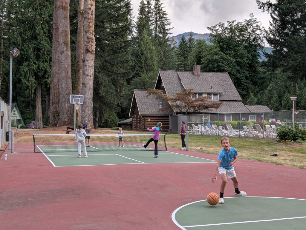
The forecast was showing very cloudy and rainy over the next several days, which was a bit of a bummer. We had time to venture out after getting settled, but with limited visibility we opted to stay around the cabin. We had access to the community pool, pickleball court, basketball court, playground, pond, and lots of green space which was great after a long day of travel. Played for a bit and made dinner at the cabin.
Day 2: Making the best out of crummy weather
- Nooksack Falls
- Horseshoe Bend Trail
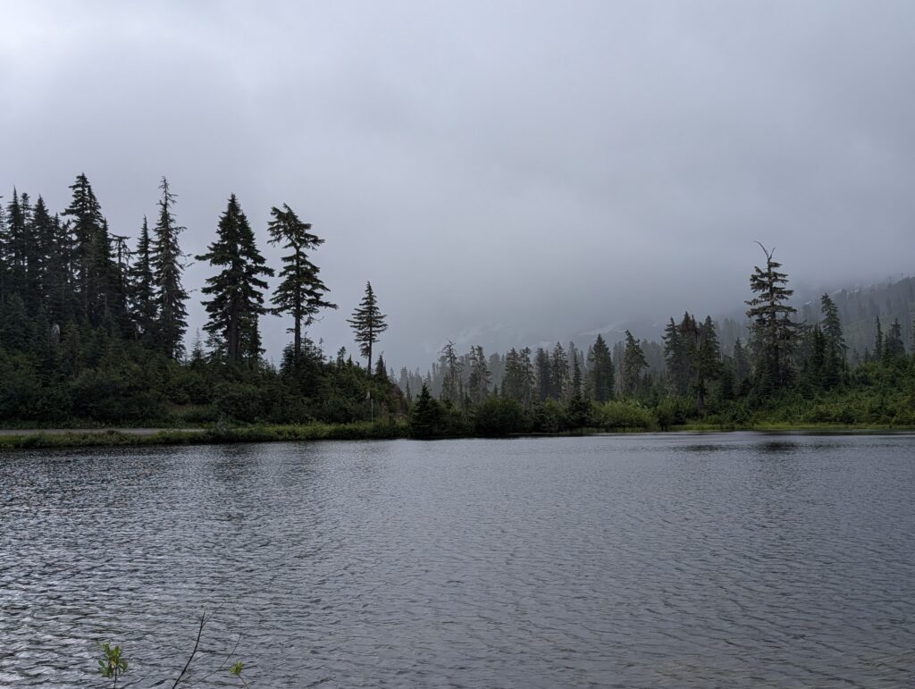
Even though the weather was not great, we drove about 35 minutes into the mountains to Picture Lake. That’s a well-known stop on the way to Artist Point and you’ll always pass right by it. If Picture Lake was somewhat clear, then we’d keep heading up. It was not even the slightest bit clear. For a minute, I thought we were back in Ohio.
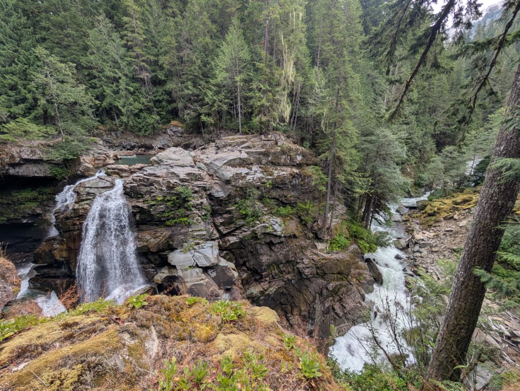
With no reason to continue driving up the mountain, we headed back down and stopped at Nooksack Falls. It’s not the most impressive waterfall and the viewing area is limited by fencing, but it’s just off the main road. Only need about 10-15 minutes total to see it.
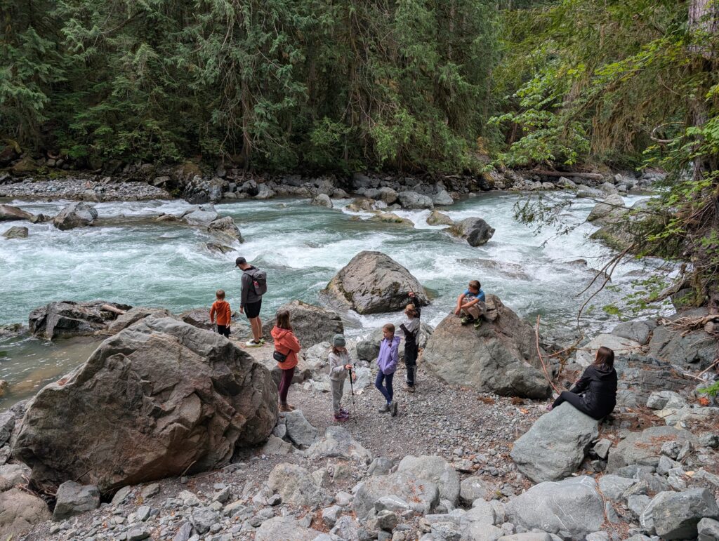
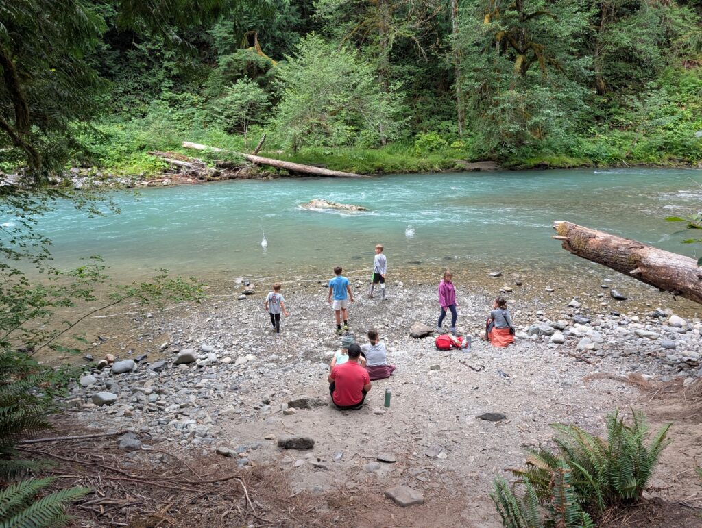
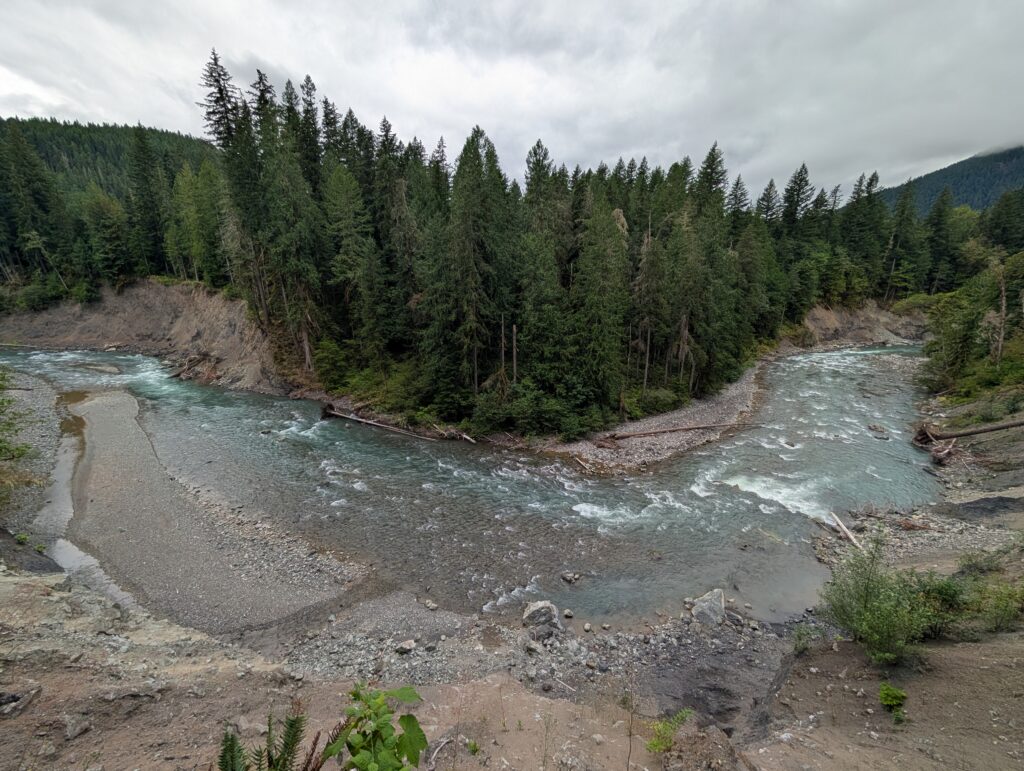
We then continued driving back towards the cabin and stopped at the trailhead for Horseshoe Bend. It’s only a few minutes outside Glacier. Horseshoe Bend is a 3-mile RT (roundtrip, or total mileage) easy hike that follows the Nooksack River through the woods. It’s also not a must-see compared to hikes near Artist Point, but is a great option on a rainy or cloudy day. We all enjoyed playing by the water at several spots and the water is a mesmerizing green that adds to the scenery.
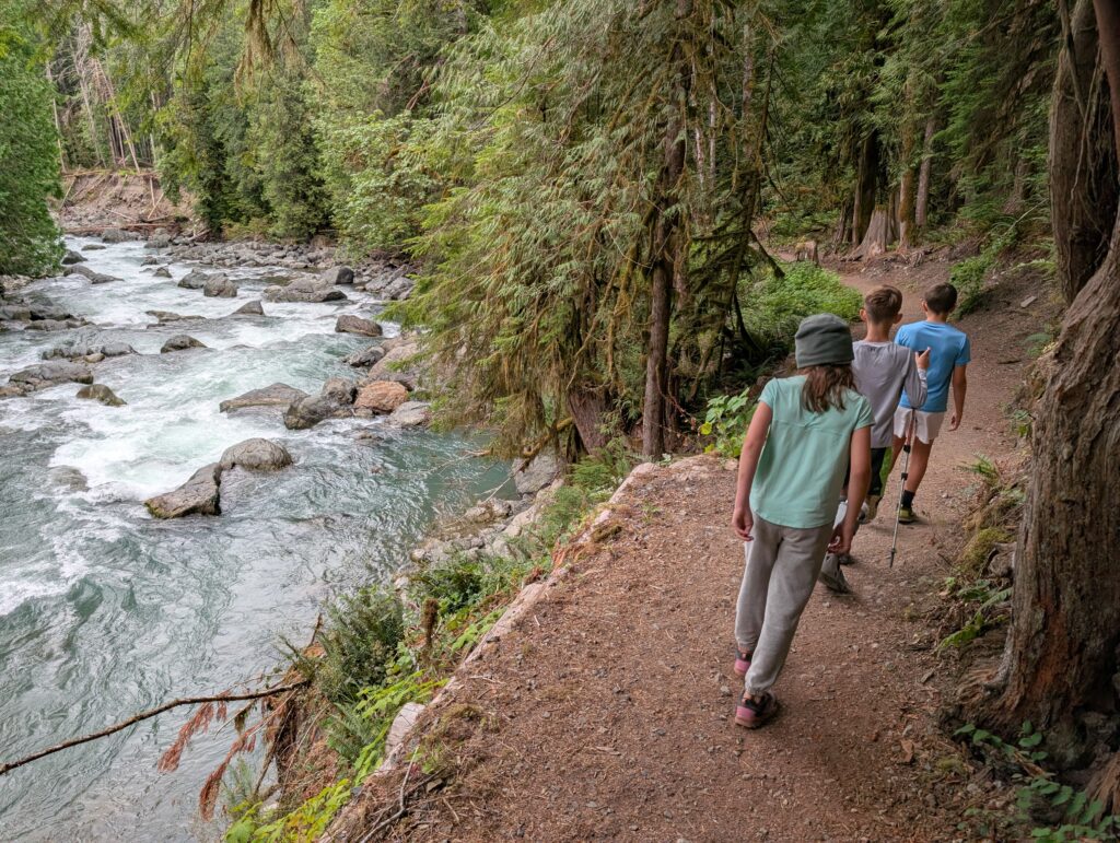
Had a very good dinner at Gunners Tex Mex BBQ in Glacier.
Day 3: Our first trip to Artist Point
- Bagley Lakes Trail
- Table Mountain Trail
The area was still cloud-covered in the morning but was showing that there might be some clearing in the evening. We had a nice, lazy morning at the cabin doing puzzles and games then drove back up to Picture Lake in the early afternoon. Better than the day before, but still very cloudy.
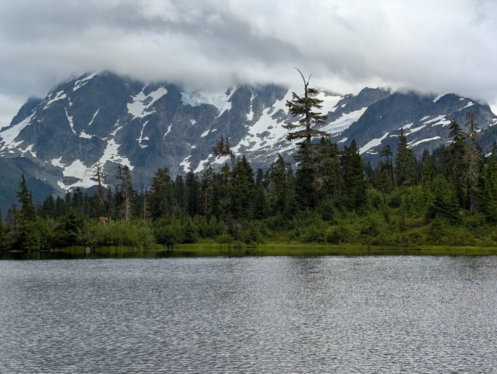
We decided to progressively keep going up the mountain, making our next stop at the Bagley Lakes Trailhead. There’s a pretty easy 2-mile RT trail around the 2 lakes but we just played along the shore of the closer one. We got some blue overhead!
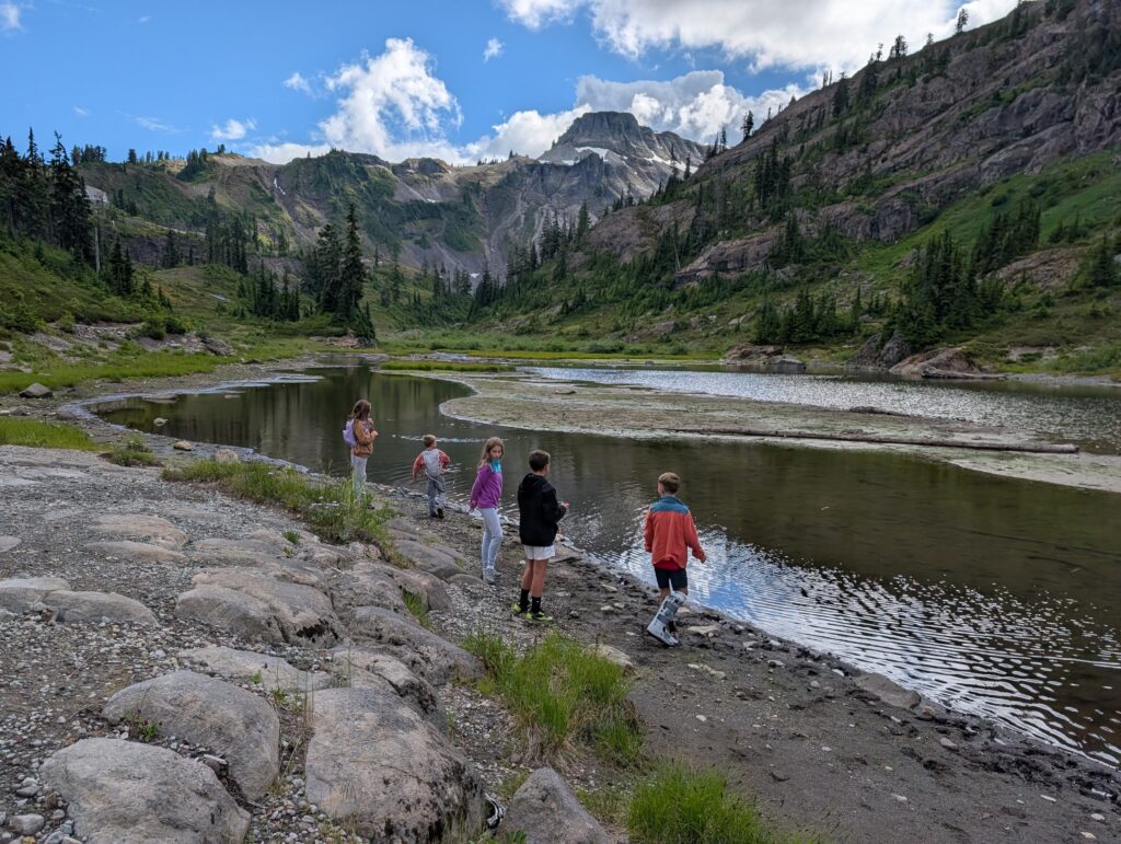
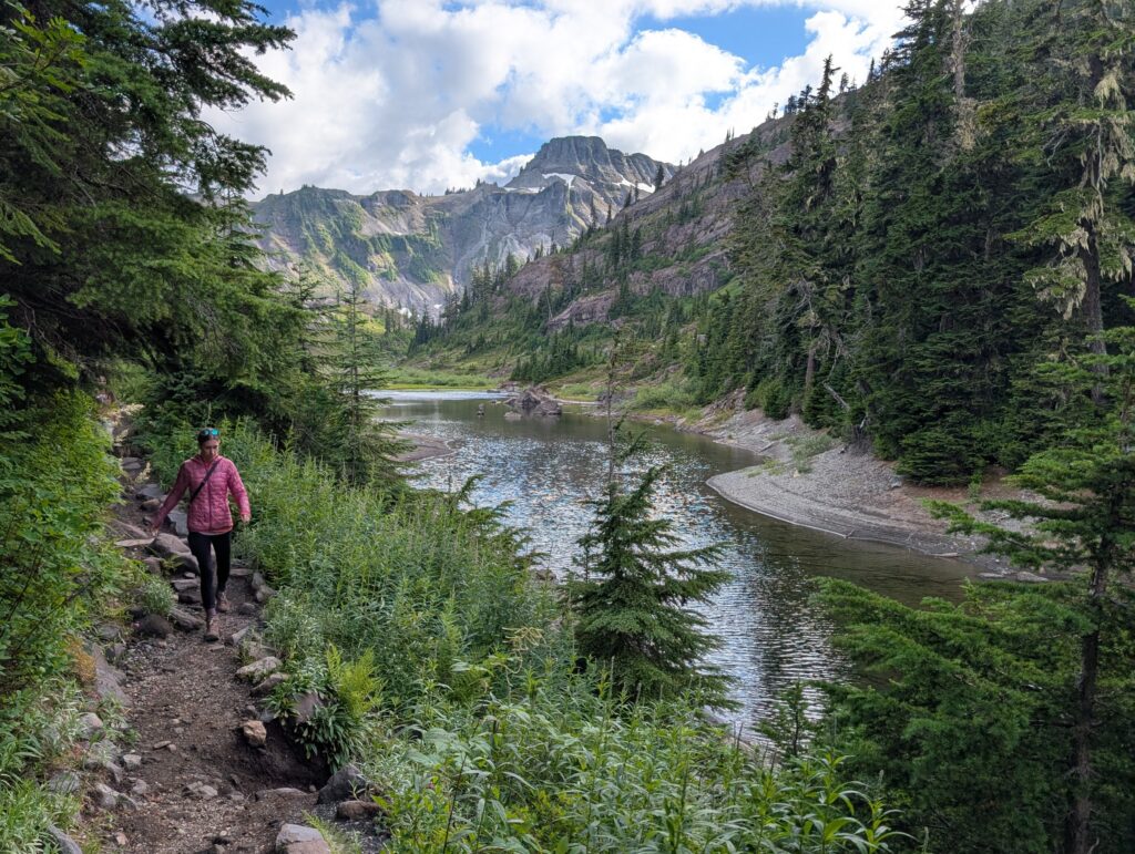
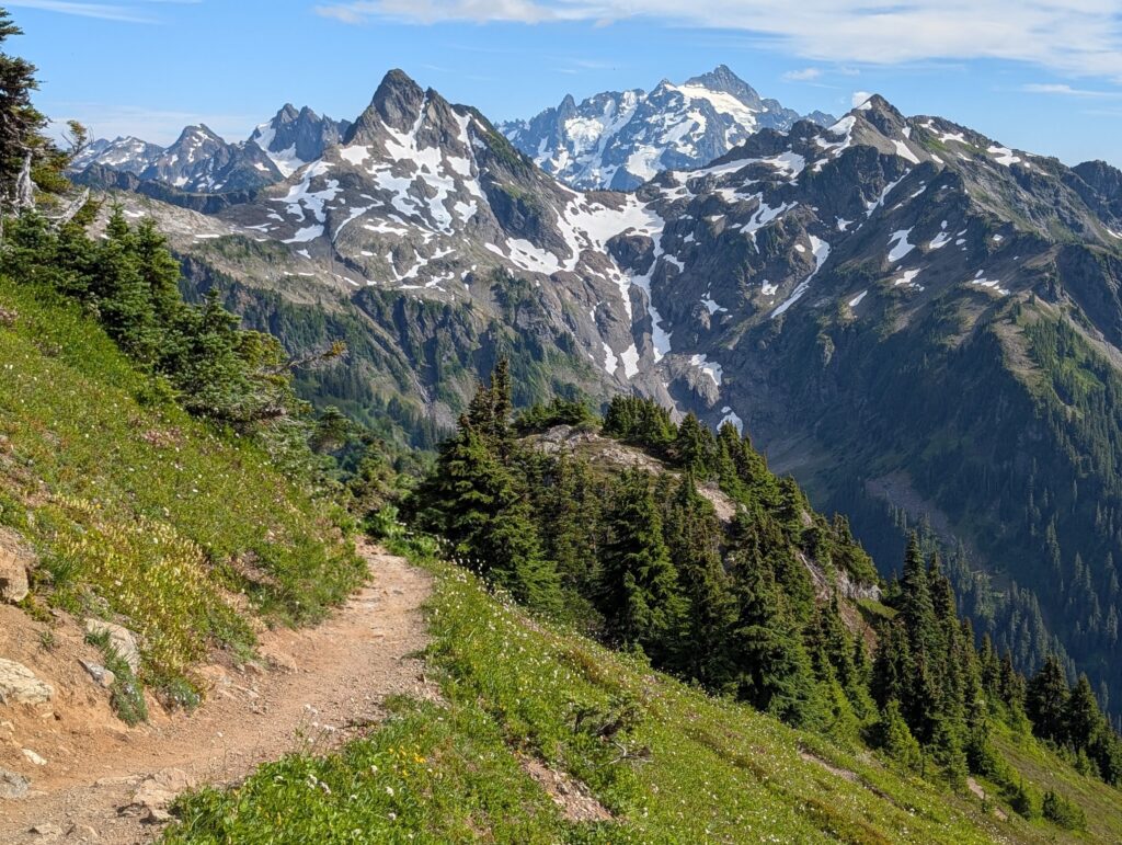
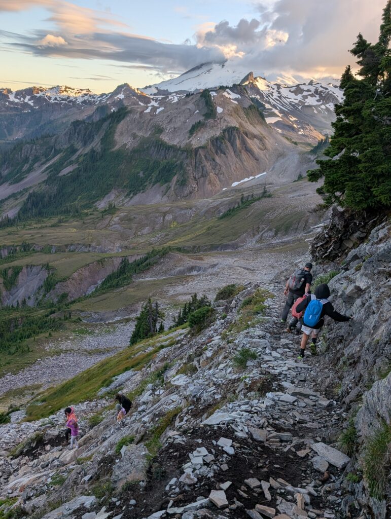
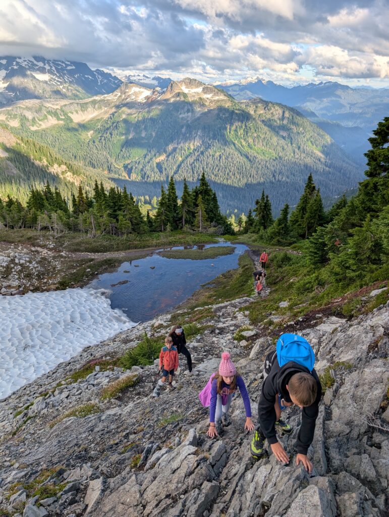
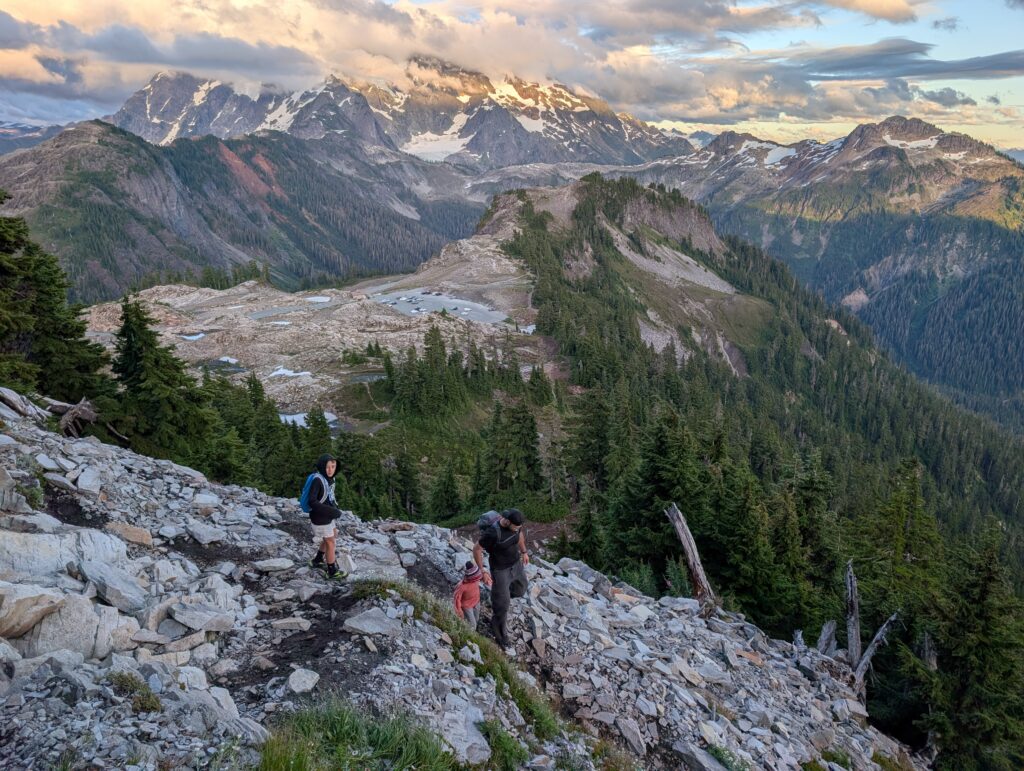
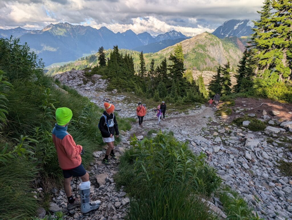
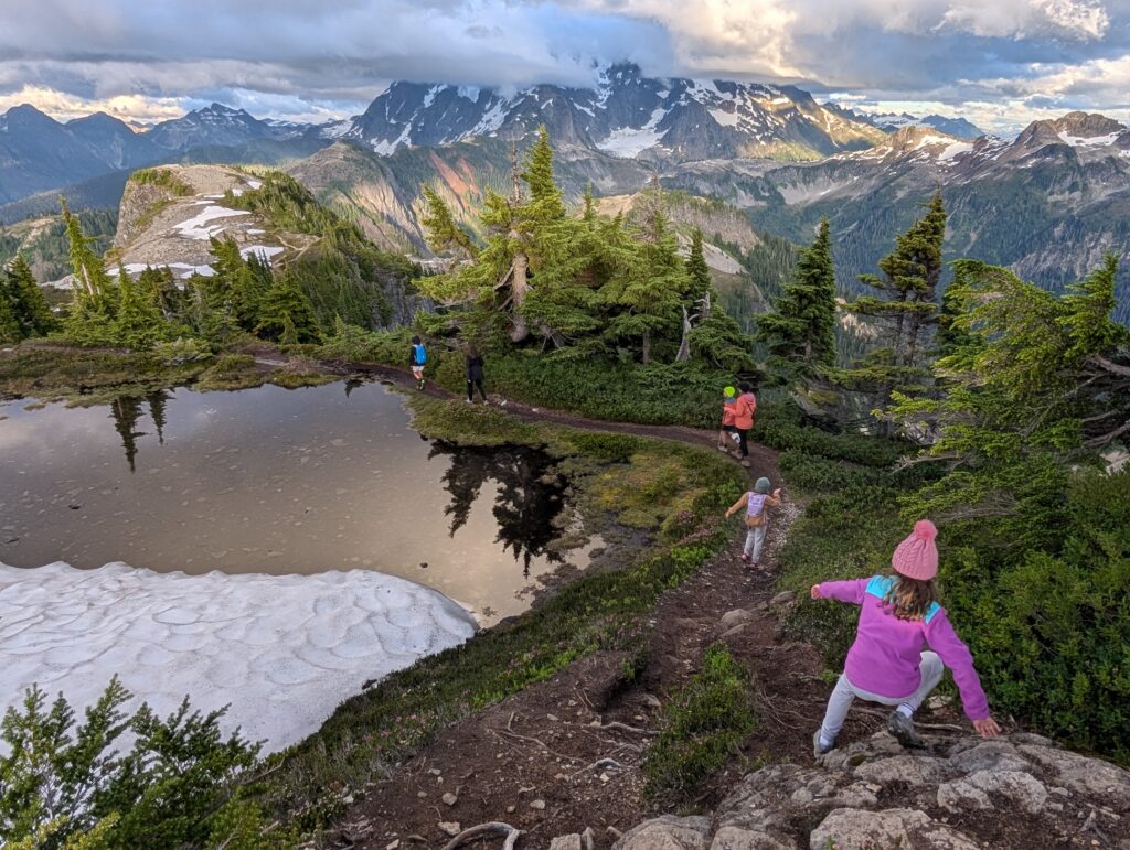
The sky kept opening up so we got back in the cars and drove all the way up to Artist Point. We did the 3-mile RT hike to Table Mountain, which shares a trailhead with the Chain Lakes Loop (more on that in day 6). There are some steep drop-offs and about 600 feet of elevation gain but our group that included 5 kids did just fine. It was a fantastic summit hike that I’m so glad we got to do. Even though Mount Baker and Mount Shuksan (pronounced shuck-sin) were still in the clouds, we could see peaks in every direction. It really dialed up my excitement and anticipation of what we’d get to see later in the week.
Day 4: Vancouver, Canada day trip
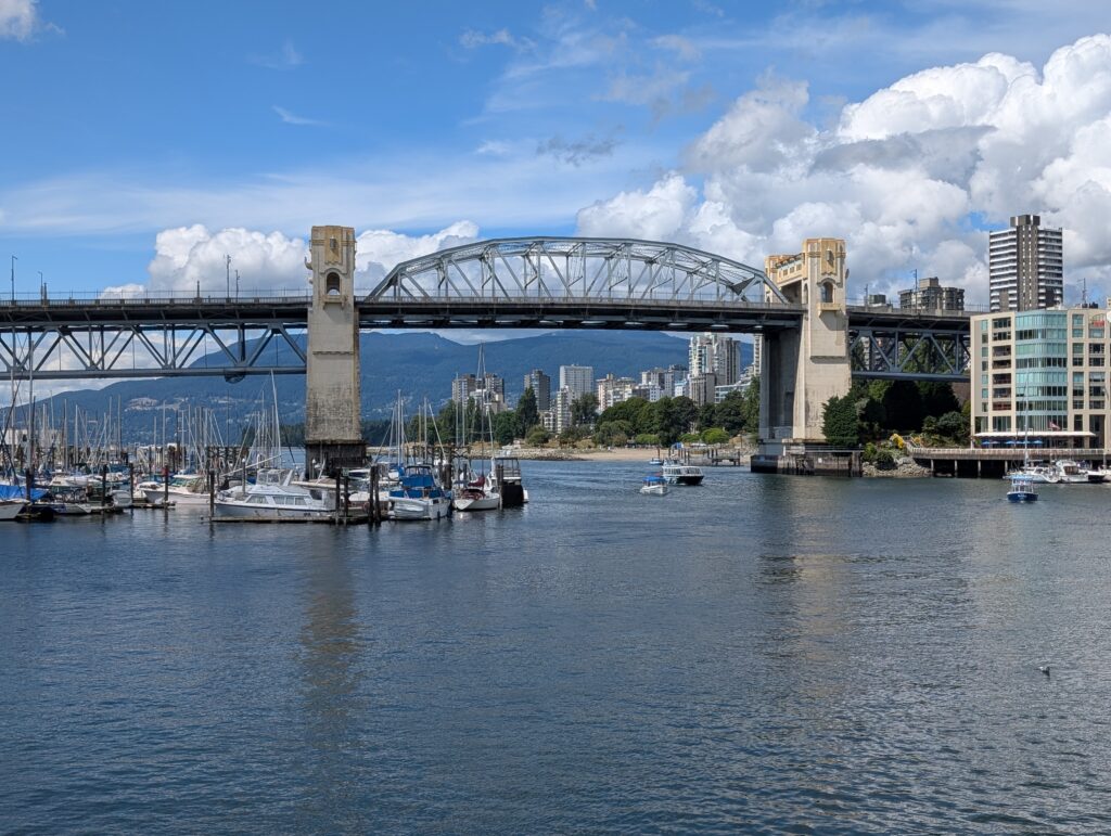
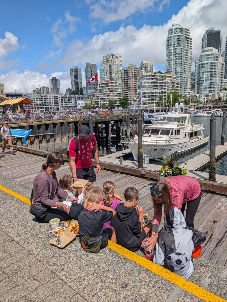
Weather was showing rain all day in the mountains, but only the first half of the day in Vancouver, Canada. Easy decision to make the trip across the border on this day. We had another slower morning and started the 2-hour drive around 10 am. The weather was awful as we neared Vancouver, but as forecasted, cleared up perfectly around 1. We paid to park on Granville Island – prices vary but it was reasonable. Spent several hours walking around the shops and stalls, eating everything in sight. Aside from a seagull dive-bombing one of us as we ate on the steps (beware), really liked Granville Island.
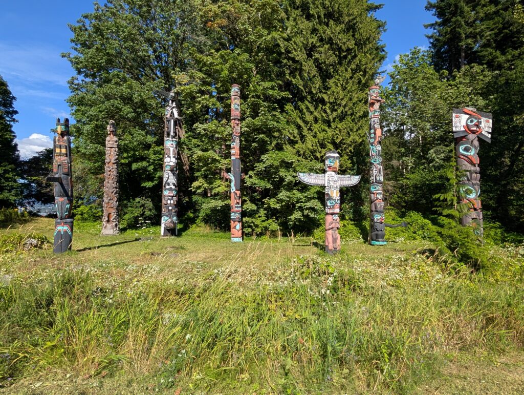
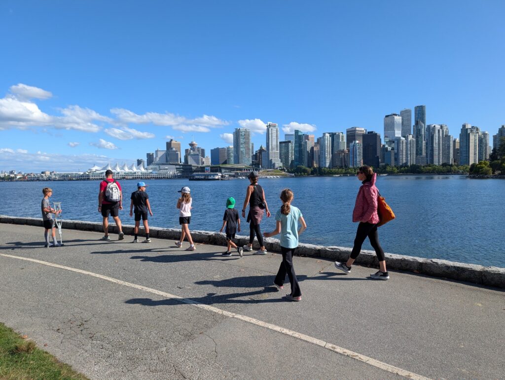
Then we drove to Stanley Park and got out near the Totem Poles. The poles are interesting but I wouldn’t be too disappointed if we didn’t see them. The surrounding area has good views of the city skyline across the water and lots of green space to play. The other side of Stanley Park, with Third Beach and Siwash Park, looked nice, too. Might have driven the loop around the whole park if we had a full day.
Planned on eating dinner in Gastown but the route took us along Hastings street. We were unaware of that street’s notoriety so it was pretty unsettling, especially with young kids. The stretch of homeless people openly doing drugs and worse seemed to last forever. I’ve been in rough areas before, but it was jarring. We didn’t want to be anywhere near it so we headed out of the city.
Just before the Canada/US border was Farmhouse Brewery. Had a great meal there and drove the rest of the way back. Border crossings were quick and uneventful in both directions.
North of Vancouver are some amazing hikes like Panorama Ridge, Stawamus Chief, and Joffre Lakes. Too far for a day trip, but could see us planning a trip dedicated to that area in the future.
Day 5: Tide pools and summit views
- Larrabee State Park
- Winchester Mountain
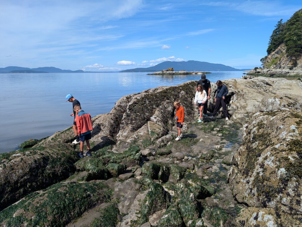
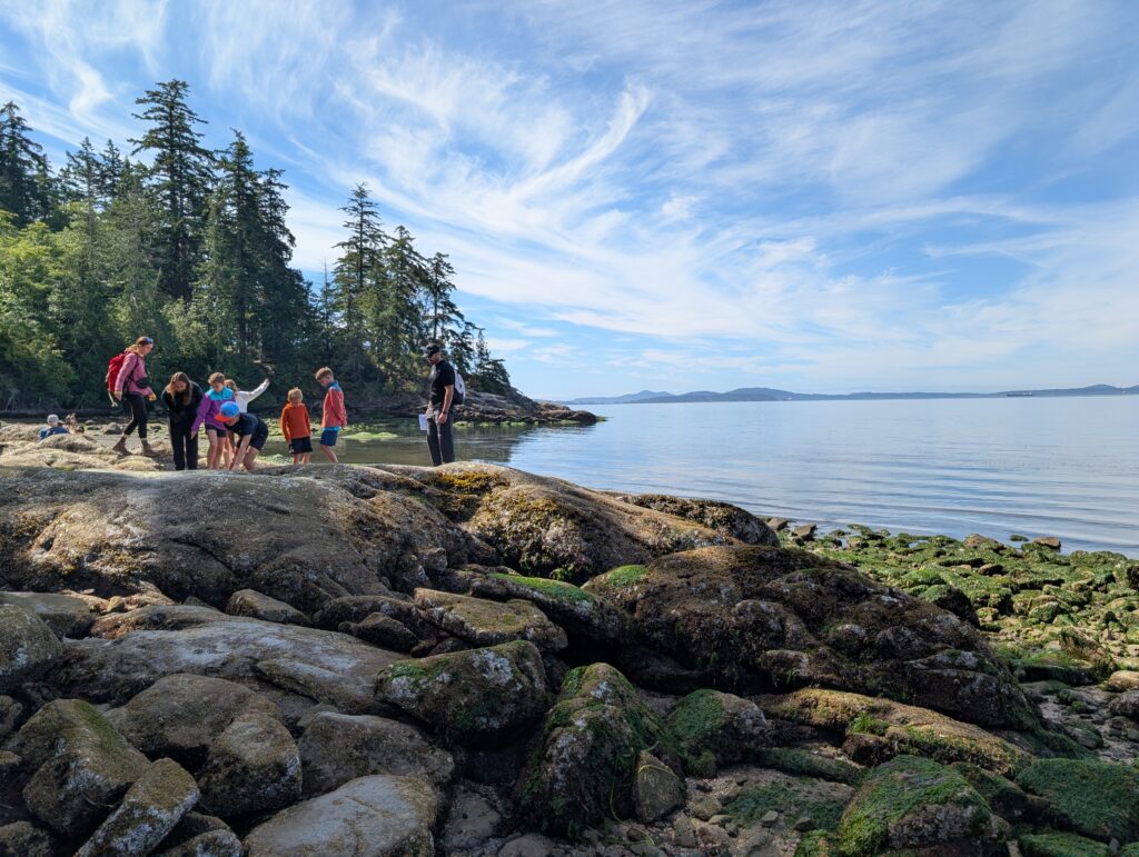
Finally, a nice day all day! Larrabee State Park is on the coast, about an hour’s drive west from Glacier and just south of Bellingham. It’s a great place to see tide pools and get up close with sea critters that normally live underwater. Get more information and a link to check the tides here.
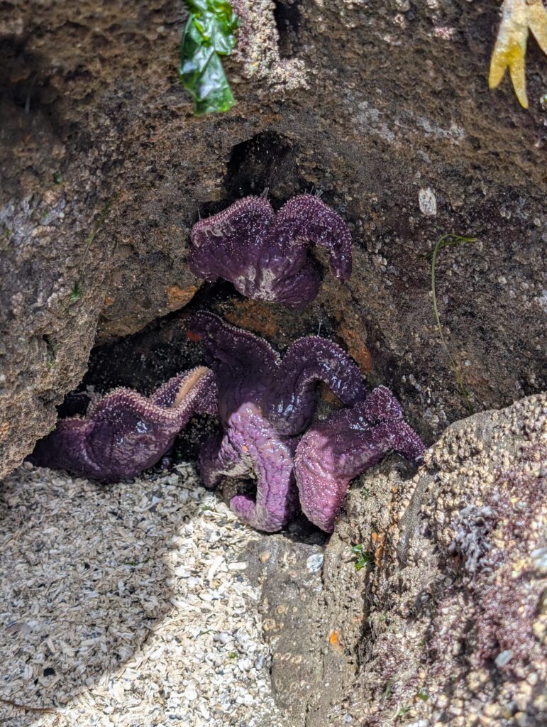
We were lucky enough to be there during a minus tide and spent a couple hours walking along the rocks and beach. We saw lots of starfish and crabs – really neat experience.
Once the tide started coming back in, most of the group headed to Costco to pick up a little more food then play near the cabin. Two of us drove past Glacier to the Yellow Aster Butte Trailhead. It’s several miles up Twin Lakes Road, which is unpaved but slowly drivable in most vehicles. Yellow Aster Butte is a fantastic hike in itself (from what I’ve read, never done it myself) but we were using it as our starting point for the hike to Winchester Mountain.
The last 2.5 miles of Twin Lakes Road, beyond Yellow Aster Butte Trailhead, is extremely rough. A high clearance vehicle is a must and I would not take a rental up there. We were fortunate to hitch a ride the rest of the way to Twin Lakes right after we parked. Saved us 2.5 miles and about 1,500 feet of elevation gain – thank you David and Pattie!
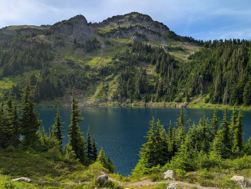
Once at Twin Lakes, the hike up to the summit of Winchester is around 3.5 miles RT with 1,300 feet of elevation gain. If we knew we could get to Twin Lakes ourselves, our whole group would have done it. But since it could be as much as 8 miles RT with almost 3,000 feet of elevation gain when starting at Yellow Aster, we didn’t think it was a good idea with younger kids. Especially since we planned on doing the Chain Lakes hike the following day.
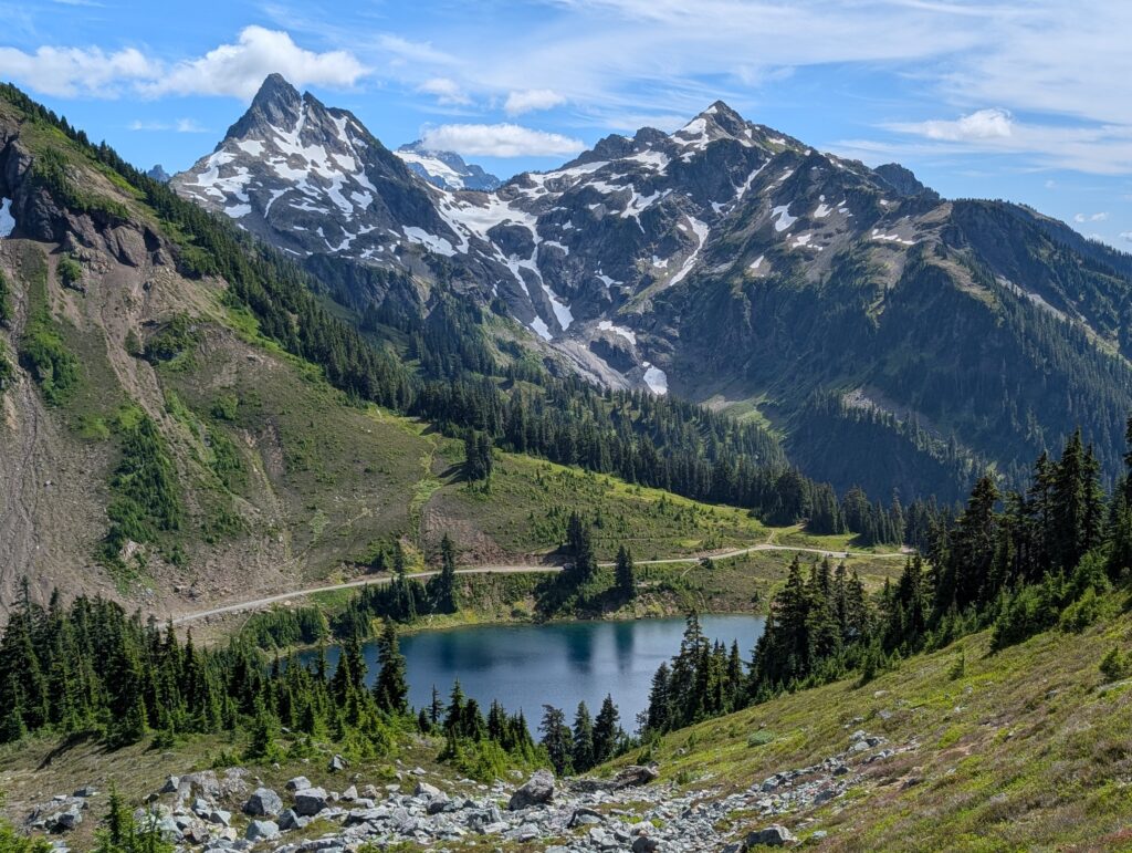
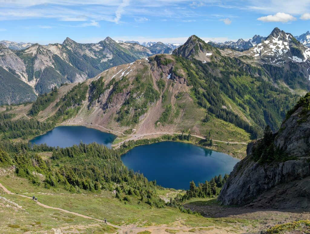
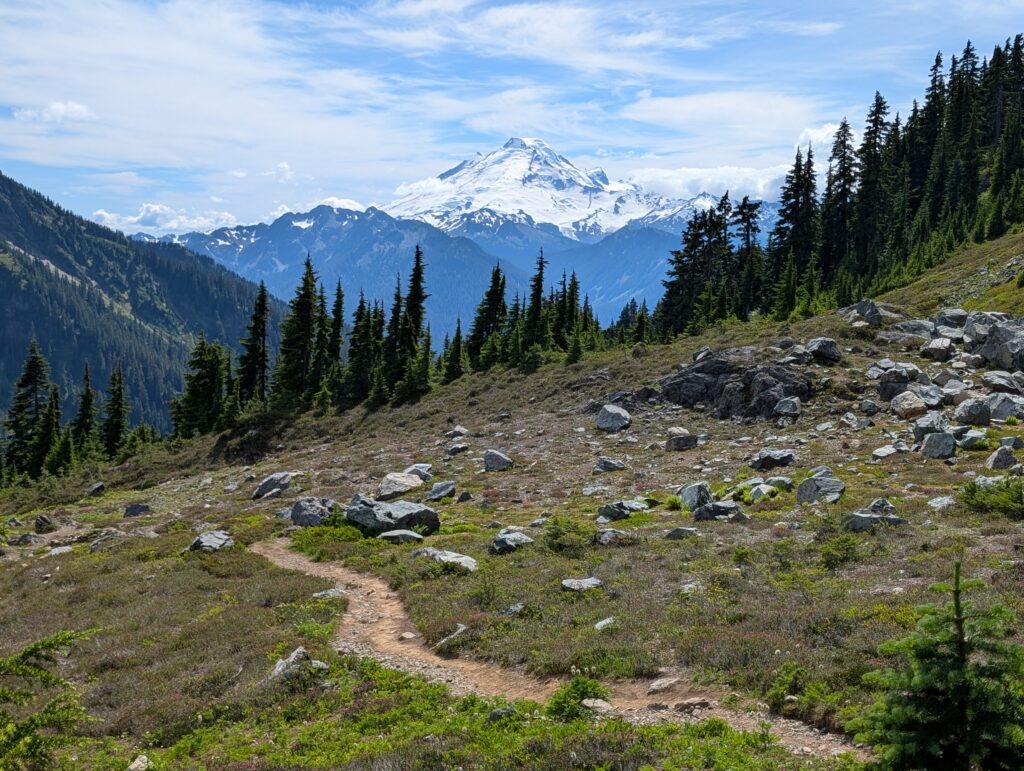
The trail goes between the lakes then the elevation gain starts right away. We made it to the top in about 40 minutes. Views every step of the way up are unbelievable – arguably the best in the entire area. There is a first-come, first-serve fire lookout at the top that you can sleep in, which would be a great place to spend a night. There is also a decent amount of camping spots around Twin Lakes.
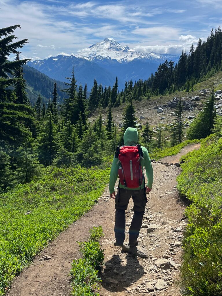
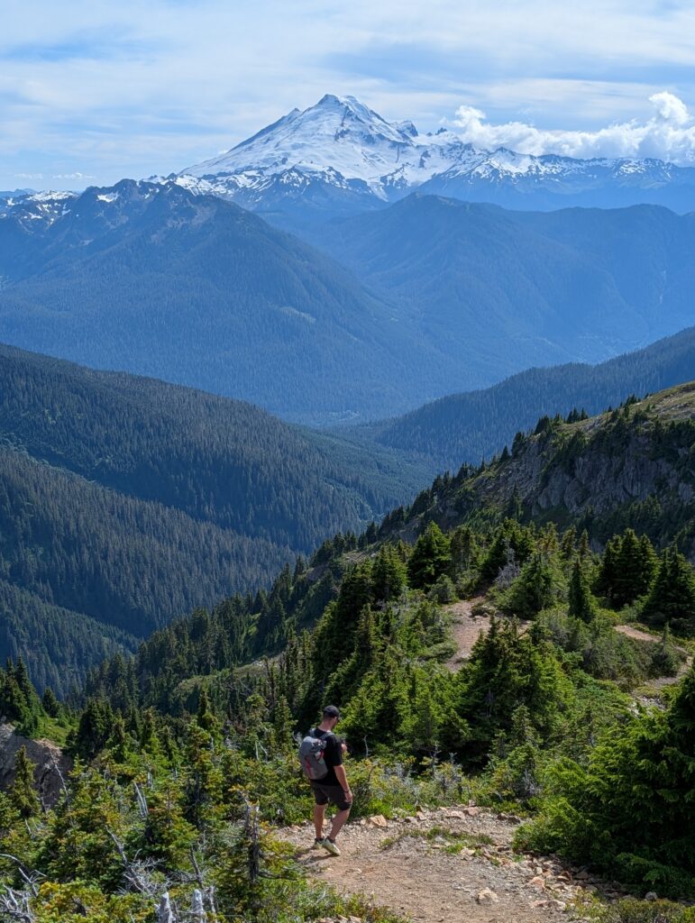
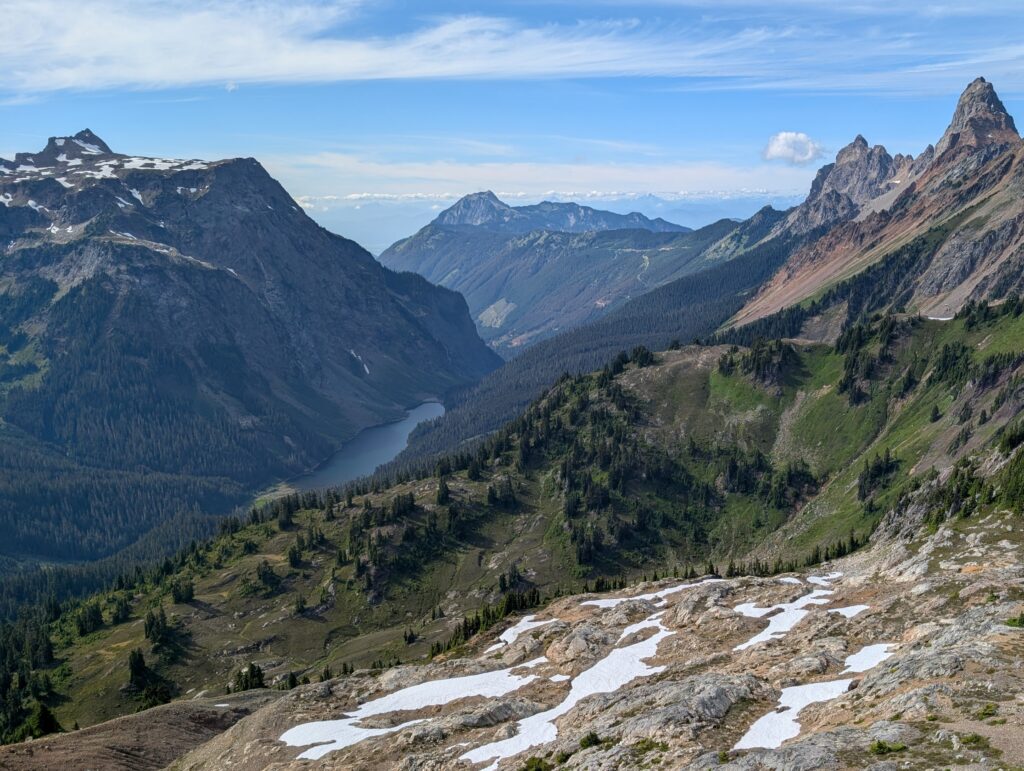
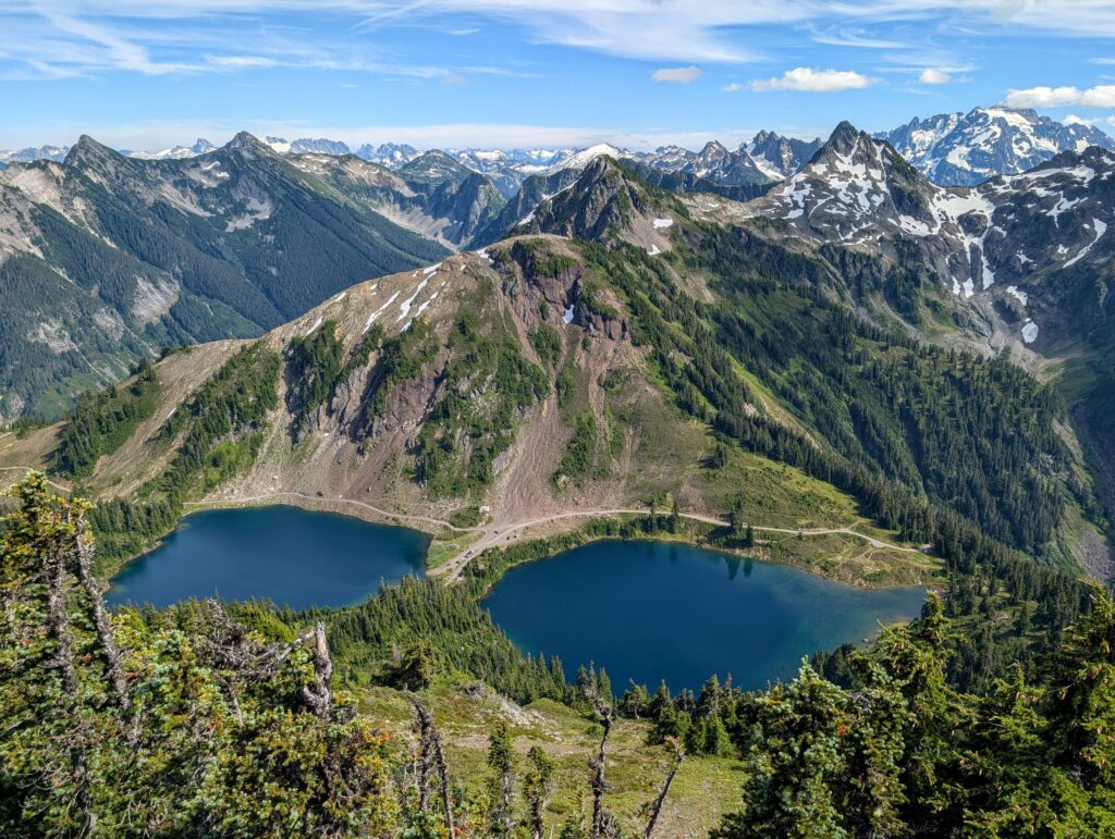
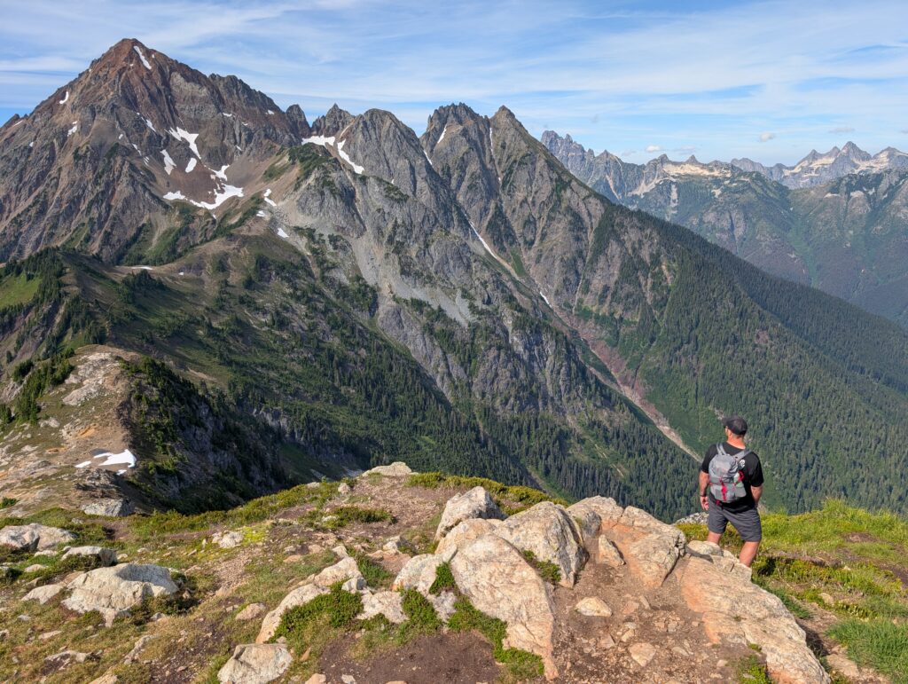
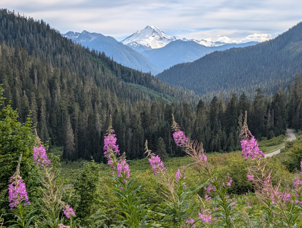
We had some food on the summit and took in the amazing views of Baker, Shuksan, and seemingly endless other peaks in every direction. No luck on catching a ride on the way down so we walked the 4 miles back to our car. Thanks to the ride at the start, we had enough time to get back and have dinner with everyone. What an awesome day.
Day 6: Back to Artist Point
- Chain Lakes Loop
- Picture Lake x2
Since the lowest tide at Larrabee was the day prior, we marked this day to do the Chain Lakes Loop. Nature dictated plans on several days of this trip, which was kind of nice.
The Chain Lakes Loop is the most popular trail in the area because it’s not too difficult (6-7 miles RT with 1,800 feet of elevation gain), can start at the accessible Artist Point, and has jaw-dropping scenery the whole way. This is not a straightforward hike to plan for because there are multiple places you can start, you’ll be on several trails instead of just one, and you can go either direction. Hike guide coming soon!
I had to stop at Picture Lake on the way because it was the clearest we’d seen. The lighting for pictures with people is definitely better in the afternoon but we still got great photos.
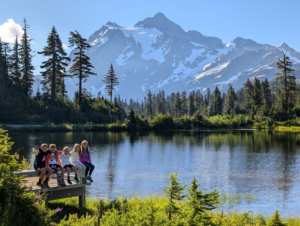
We parked at the Heather Meadows Visitor Center and did the loop trail counterclockwise. Since we had already spent time around the lower Bagley Lake a few days earlier, we didn’t feel the need to do it again and headed straight for the Herman Saddle. Hiking counterclockwise from Heather Meadows gets the bulk of the elevation gain out of the way while the legs are fresh, so we thought that was the way to go with the kids. I’ll spare you from reading “the views were amazing” in every other sentence of this recap, but it’s true.
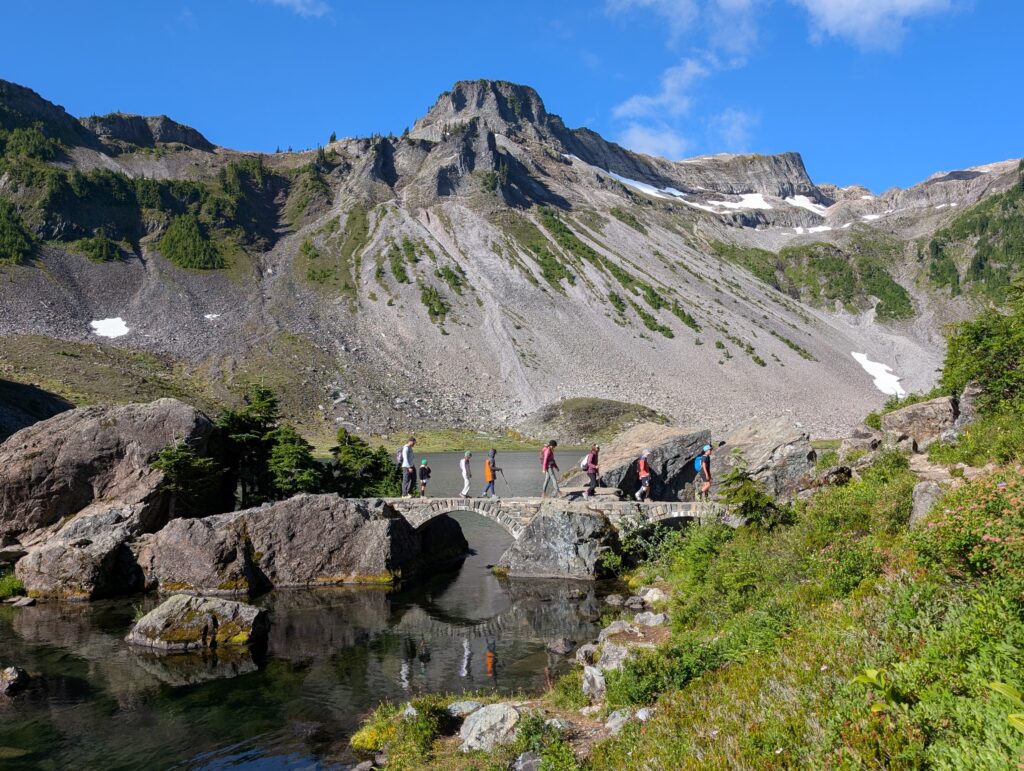
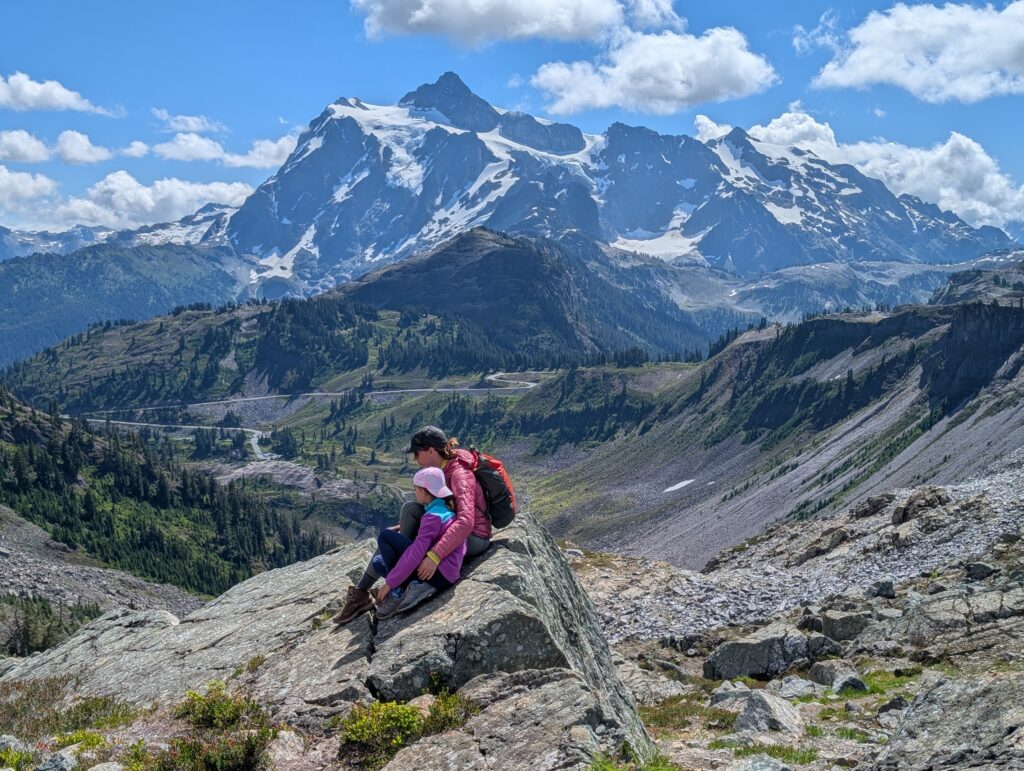
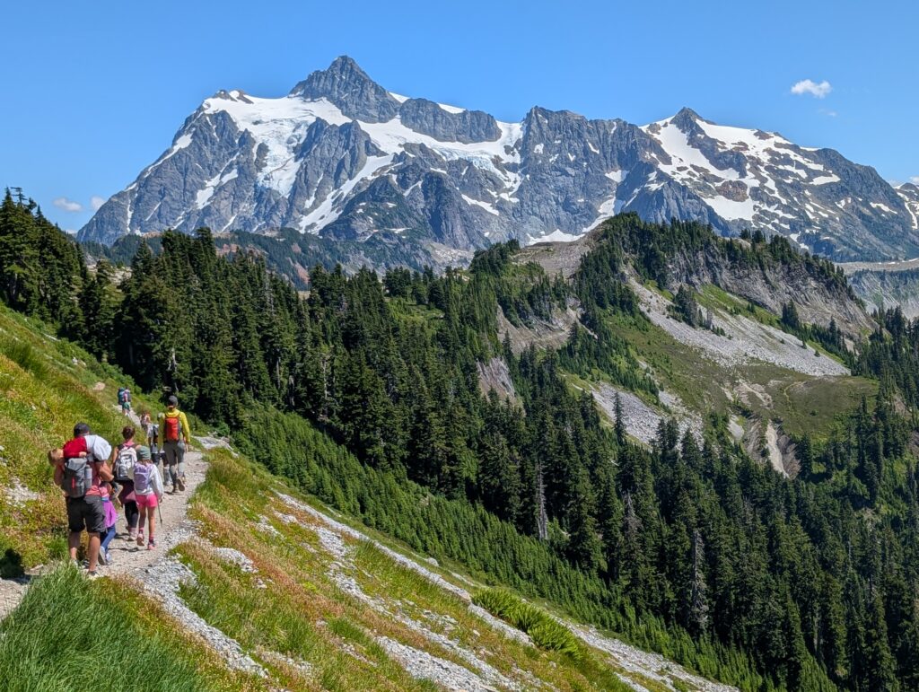
The trip up went by fast and the elevation gain is consistent but not overly aggressive. Views looking back at Shuksan kept getting better and better. We took a good break on the saddle for lunch and a bunch of pictures. I will always remember spending time there. Larger-than-life Shuksan to the left and Baker to the right, towering over Iceberg Lake and everything else. Definitely my favorite part of the trail.
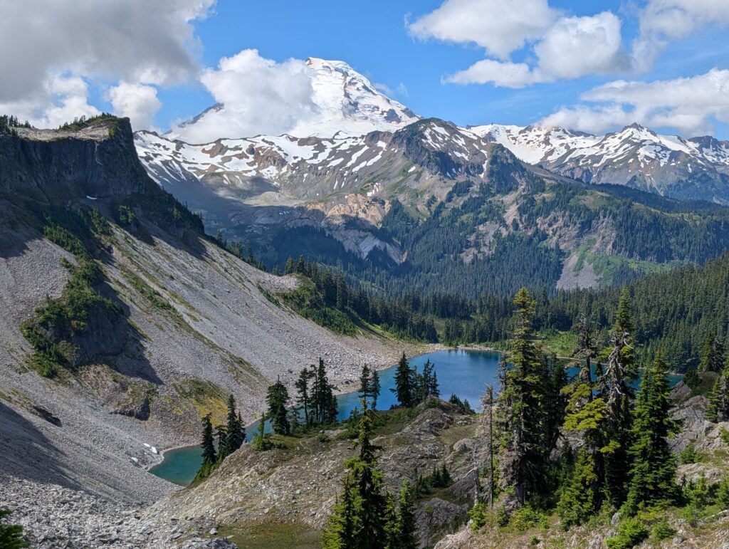
Next is the descent to the lakes. There are some social trails that lead to even better views of Baker, so it’s a good section to spend some time wandering around.
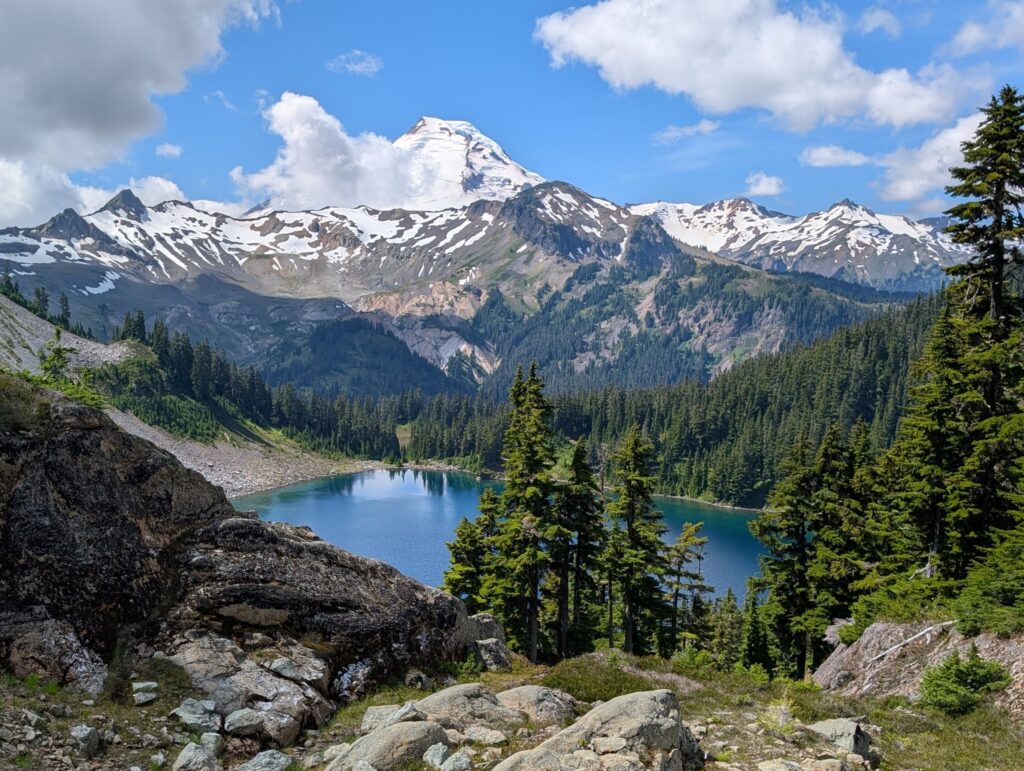
Then the trail goes between Hayes and Iceberg Lakes. Both are good options for swimming, but Hayes is a little in the opposite direction. We chose to jump in Iceberg, which was cold but felt great.
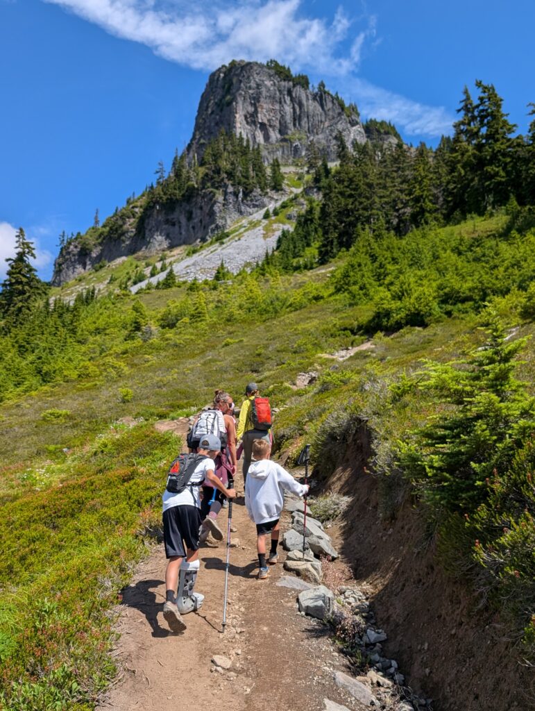
After passing Mazama Lakes there was a brief ascent. Table Mountain looms overhead during this stretch, which gave some good perspective on where we were several days earlier. Then a thoroughly enjoyable flat stretch back to Artist Point with Mount Shuksan in all its glory.
You may have seen what is probably the most recognizable photo of this entire area: Mt. Shuksan perfectly reflected in a body of water. That is from Huntoon Point, which is at the end of the Artist Ridge Trail. It also starts at Artist Point, across the parking lot from Chain Lakes and Table Mountain trailheads. Once we finished the Chain Lakes Loop, I made quick work of the 1.2 mile RT hike solo. I can’t really say it was worth it. Maybe if the pond was still and you could get a perfect reflection, but I think Shuksan is most impressive when you can see more of it.
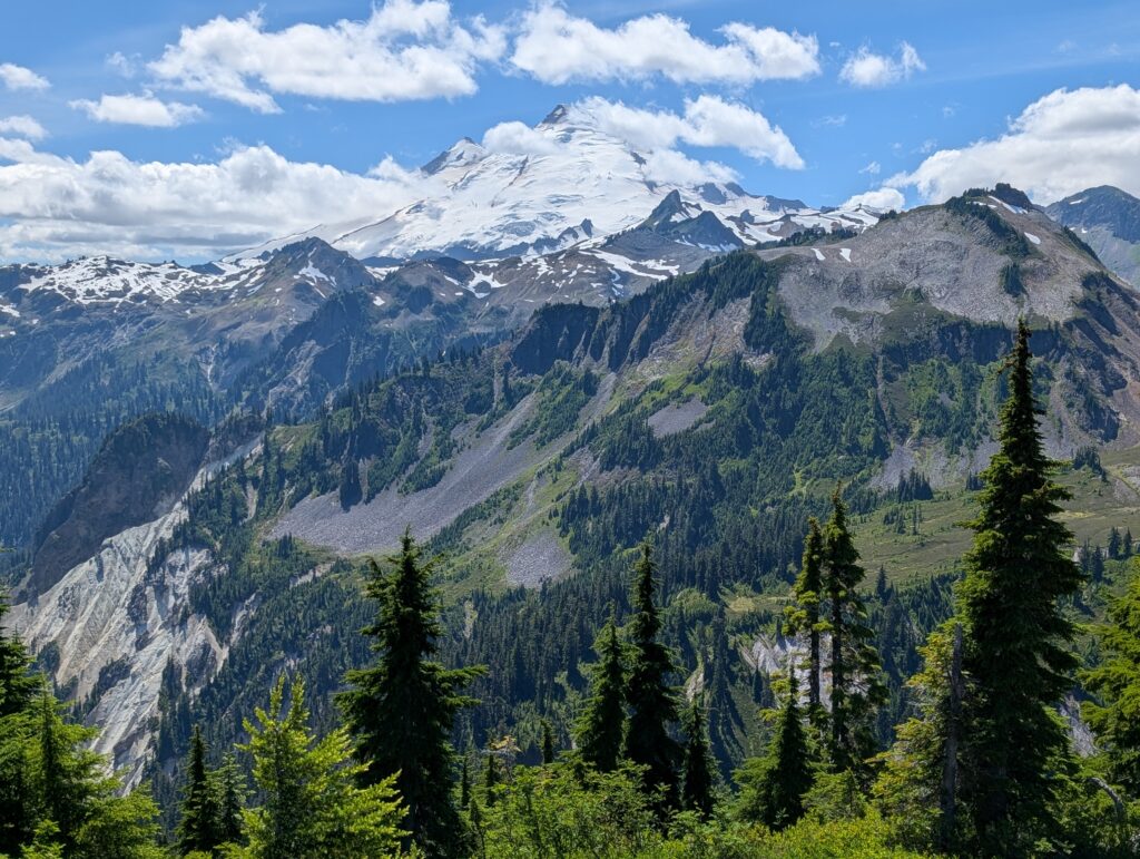
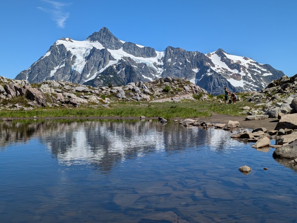
After that, two of us descended the Wild Goose Trail back to Heather Meadows. We then drove the vehicles to Artist Point to pick up everyone else. That way the kids didn’t have to do the steep, extra mileage to return to our original starting point. Actual hike time was 6 hours, including breaks, photos, food, and swimming.
Of course, had to stop at Picture Lake again and grab more pictures (sorry again, everyone).
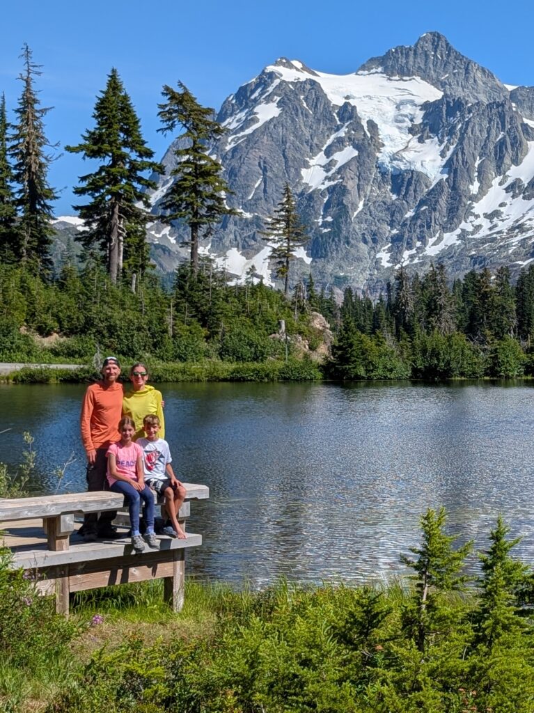
Got back to the cabin with plenty of time to hit the hot tub before dinner. We walked across the street to Chair 9 pizza and ate outside. Rarely does food taste better to me than on or after a hike. The pizza and beer were perfect and capped off the finest kind of day there is.
Day 7: Silver Lake and back to Seattle
Packed up, left the cabin, and made our first stop at the Ranger Station in Glacier. Mount Shuksan is in North Cascades National Park, but we weren’t actually in the boundaries of the park at any time on this trip. Regardless, I was elated to find that they had the Junior Ranger booklets (I’m a huge fan of the program – more information here). Kids earned their badges and then we drove about 15 minutes to Silver Lake Park. They have paddle boats, canoes, and paddleboards for rent plus you can fish and swim there.
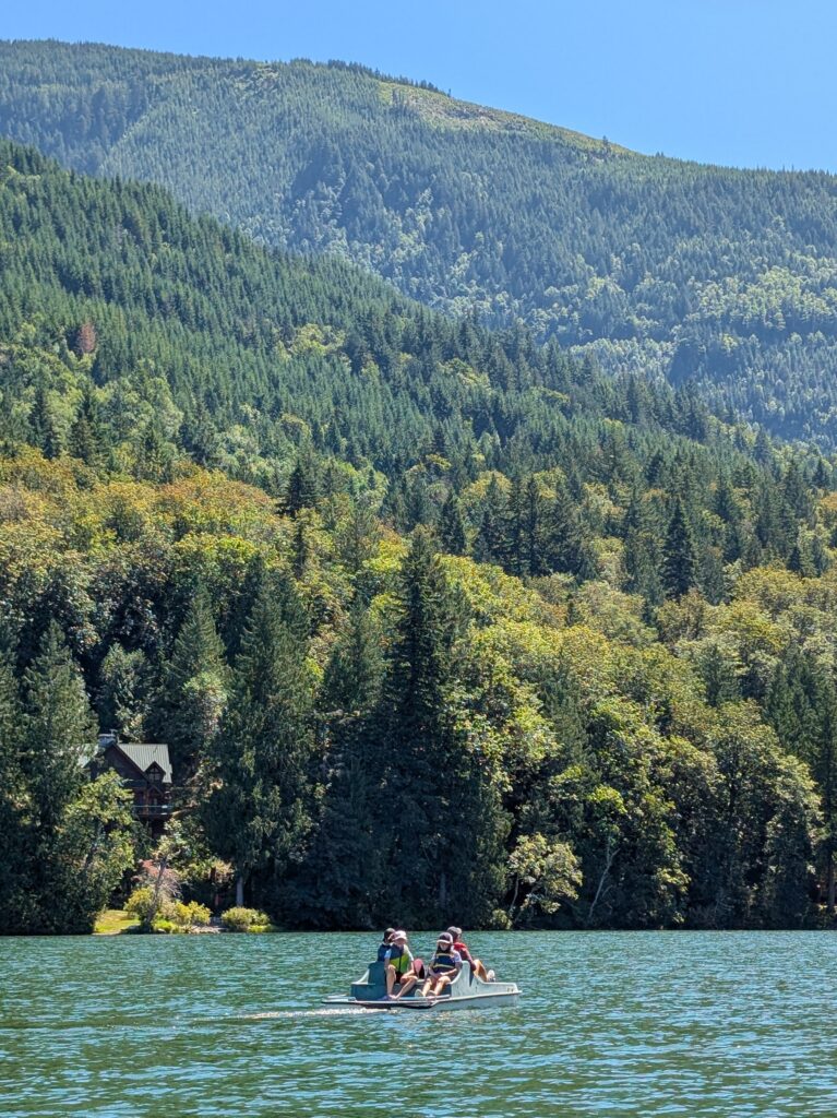
Spent several hours there, ate a picnic lunch, then drove 28 hours through terrible Seattle traffic to get to our hotel near the airport. It was actually closer to 4 hours but took way longer than it should have. We stayed at the Country Inn & Suites, which worked out fine. Early flight home the next day.
Overall, this was a fantastic trip in yet another Washington area with top-notch scenery. Both my wife and I said we would definitely return here again. I’d love to spend some time backpacking and hit some of the other trails we didn’t get to do this time like Lake Ann, Yellow Aster Butte, and Heliotrope Ridge.
Traveled in July 2026
Leave a reply