
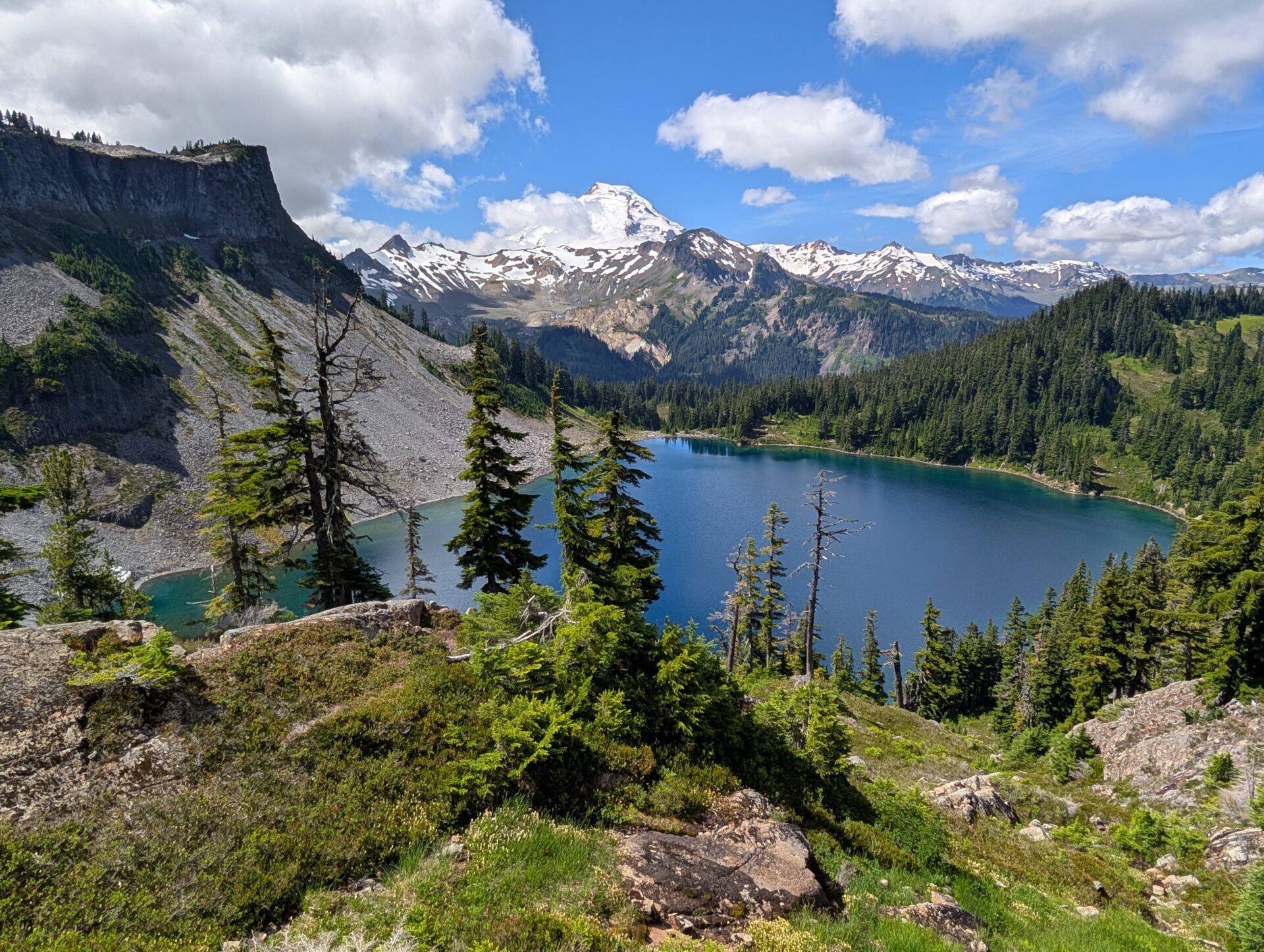

The most important thing on this page: please follow the 7 principles of Leave No Trace whenever hiking (and all the time, actually – most are pretty good general life tips, too):
- Plan ahead and prepare
- Travel and camp on durable surfaces
- Dispose of waste properly
- Leave what you find
- Minimize campfire impacts
- Respect wildlife
- Be considerate of other visitors
Now, on to the Chain Lakes Loop. Here are the quick facts:
- Where: North Cascade mountains, Washington.
- More specifically, where: Artist Point, near the Mt. Baker ski area towards the Canadian border.
- Distance and elevation: Depends on route, but about 6 miles (9.6 km) total with 1,600 feet (490 meters) of elevation gain is the shortest option. More below.
- Highest point: 5,450 feet (1,660 meters) at Herman Saddle.
- Why you should hike this trail: Nonstop big mountain views with multiple alpine lakes.
- Fee or permit? Fee only – Northwest Forest Pass or America the Beautiful (National Parks) pass.
- Best time of year: July – September. October would have some great color but could bring snow.
- Closest commercial airport: Seattle, Washington (SEA) is about 3 hours from Artist Point. Vancouver, BC, Canada (YVR) is about 2.5 – 3 hours.
Tips to remember for the Chain Lakes Loop hike
- Turn around often! The view behind you will be better than or equal to the view in front of you at multiple points.
- I recommend starting at Heather Meadows or Bagley Lakes and going counterclockwise. More on this below.
- No matter which way you go, you’ll be going uphill twice and downhill twice.
- Make sure to stop by Picture Lake, which you’ll pass on the way up the mountain.
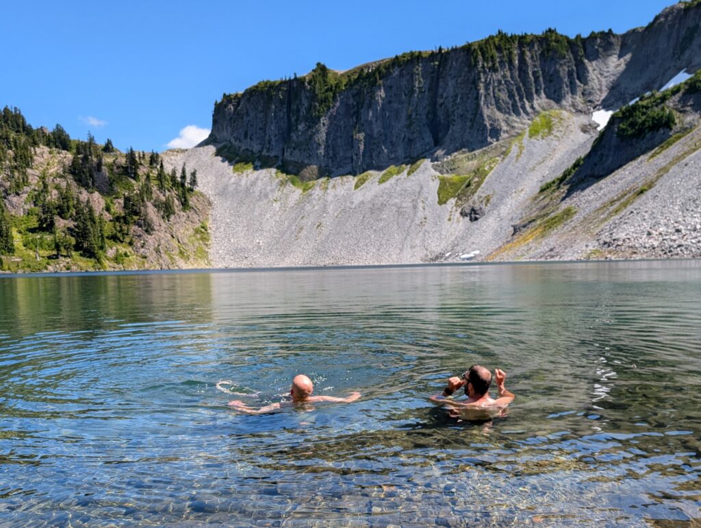
- Bring your bathing suit and packable towel for taking a dip in Hayes or Iceberg Lake.
- This is a great, relatively easy backpacking option especially since no permit is required. It can be extremely crowded, however, so I’d get started and set up camp early.
- There is a pit toilet near Iceberg Lake, about halfway through the hike. It comes with a pretty nice view!
- You can do this as a driving day trip from further away, but staying closer to Artist Point saves you from having to get up super early. We stayed in Glacier, Washington on our trip and it worked out great.
- Display your Northwest Forest or America the Beautiful pass on your dashboard wherever you park.
- You could save some mileage and elevation gain/loss by staging 2 cars or having only 1 person retrieve the car and pick everyone else up. This will make more sense by reading the sections immediately below.
Choosing a starting point and direction
Planning this hike is arguably more difficult than the hike itself. There are several places where you can start, you’ll be on multiple differently-named trails, and you can go either direction. One bit of good news is that there’s only way to get to this entire area: the Mt. Baker Highway (SR 542). It runs for about 60 miles from Bellingham and dead-ends at Artist Point. Since everyone will always be taking the same route to get there, understanding how to get to the parking lots is a little easier. If you’re worried about getting a parking spot, check each lot on the way up and take the first one you get.
Where to park, in order from the first one you’ll pass on the drive up the mountain
- Bagley Lakes Trailhead: This will add about 1.25 miles, so a total of 7.25 miles.
- Heather Meadows: has 2 lots and is right by the visitor center. This is where we parked.
- Lake Ann Trailhead: smallest lot, probably a last resort.
- Artist Point: biggest lot and options to do other trails that start here, too.
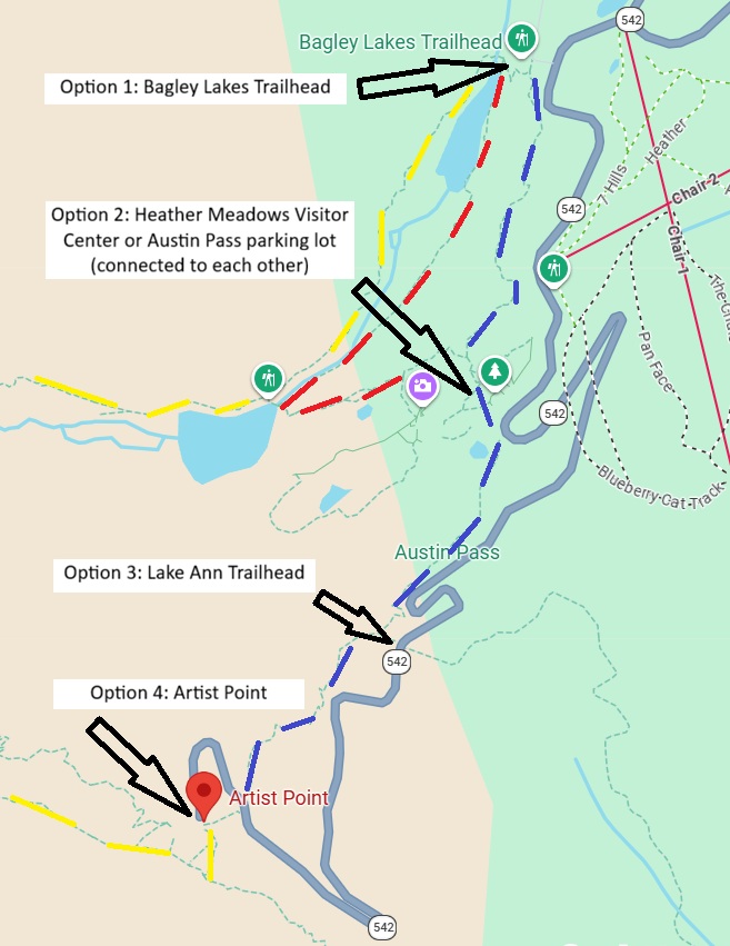
Yellow lines: Chain Lakes Trail. Note how it runs along one side of Bagley Lakes and picks back up by Artist Point.
Red lines: Bagley Lakes Trail. You could take the Chain Lakes one direction and this trail the other, if starting at Bagley Lakes Trailhead. That combo is also the way to do the Bagley Lakes Loop, which can be done on its own. Alternatively, if you're starting at Heather Meadows and skipping the lower lake, you'd be on the Bagley Lakes Trail for a brief time until it meets up with the Chain Lakes Trail by the upper lake.
Blue lines: Wild Goose Trail. This is a pretty steep trail with lots of stairs. You'll have to take this trail to get to or from Artist Point. That was one of the most difficult parts to figure out since the actual Chain Lakes Trail does not form a loop on its own.
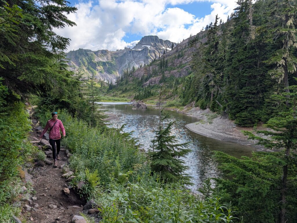
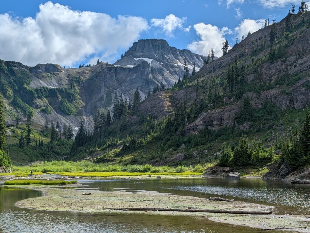
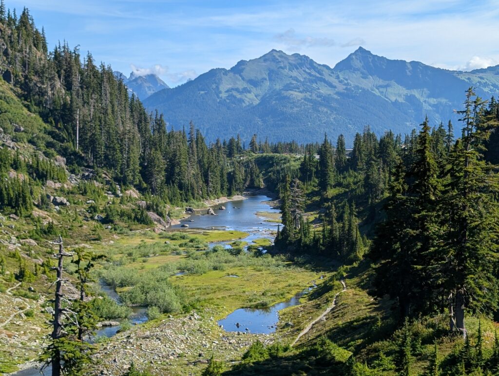
If you don’t have another opportunity to do Bagley Lakes as a standalone hike, I do think it’s worth tacking on to the Chain Lakes Loop. Or, you could stop at the Bagley Lakes Trailhead and just do a short portion of it. That’s what we did on a different day of our trip, since the trailhead is always on the way up the mountain. We stayed on the closer side of the lower lake, which would be on the Bagley Lakes trail dotted in red lines above. Here are a couple pictures to give you an idea of the views along the shore of the lower lake, the one closest to Bagley Lakes Trailhead.
We chose Heather Meadows as our starting point because that allowed us to head up Herman Saddle right at the beginning when legs were fresh. We got the bulk of the elevation gain out of the way early and had most of the good views in front of us, which only happens when going counterclockwise. Which leads to the next decision:
Which direction to do the Chain Lakes Loop
Put simply: we went counterclockwise and I think that’s the way to go. There’s no wrong decision but going counterclockwise:
- Gives a magical first view of Mount Baker as you crest Herman Saddle. If going clockwise, I imagine the view of Shuksan is great, too. However, you’d have already seen it from Artist Point so there’s no real surprise.
- Keeps Baker and Iceberg Lake in view as you descend from Herman Saddle.
- Has an amazing view of Shuksan as you approach Artist Point. Although, that same stretch would put Baker in front of you so that might be a wash.
One important note that may be the deciding factor: the Wild Goose Trail is the steepest part of the trail with lots of steps. If it’s easier for your body to go up stairs, then go clockwise. If it’s easier to descend stairs, go counterclockwise. There’s elevation gain and loss both directions, but this is the only stretch with lots of stairs. Parking at the Lake Ann Trailhead would at least split up that section, as you’d have part of it at the start and part of it at the end.
The rest of this guide will detail the loop when starting from Heather Meadows and going counterclockwise. Hopefully, it’s helpful no matter what your route is.
Heather Meadows to Herman Saddle: 2 miles
I was a little confused at where to go from the parking lot at the visitor center. The clearest direction I can give is to aim for a break in the rock wall right where the paved path leads up to the visitor center. Then, follow the slight decline on the rock until you run into the signed Bagley Lakes Trail. Make a left.
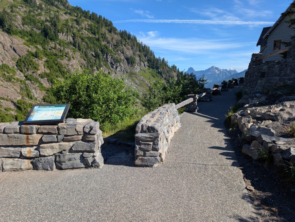
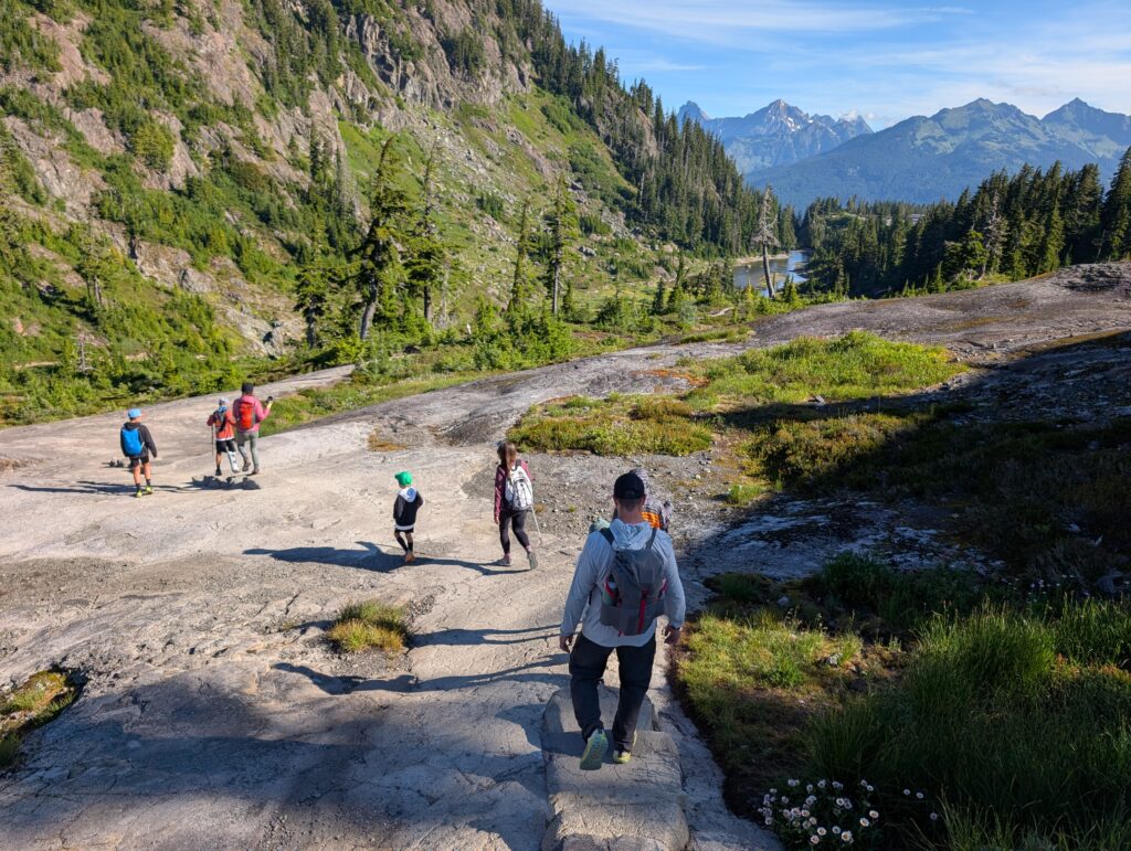
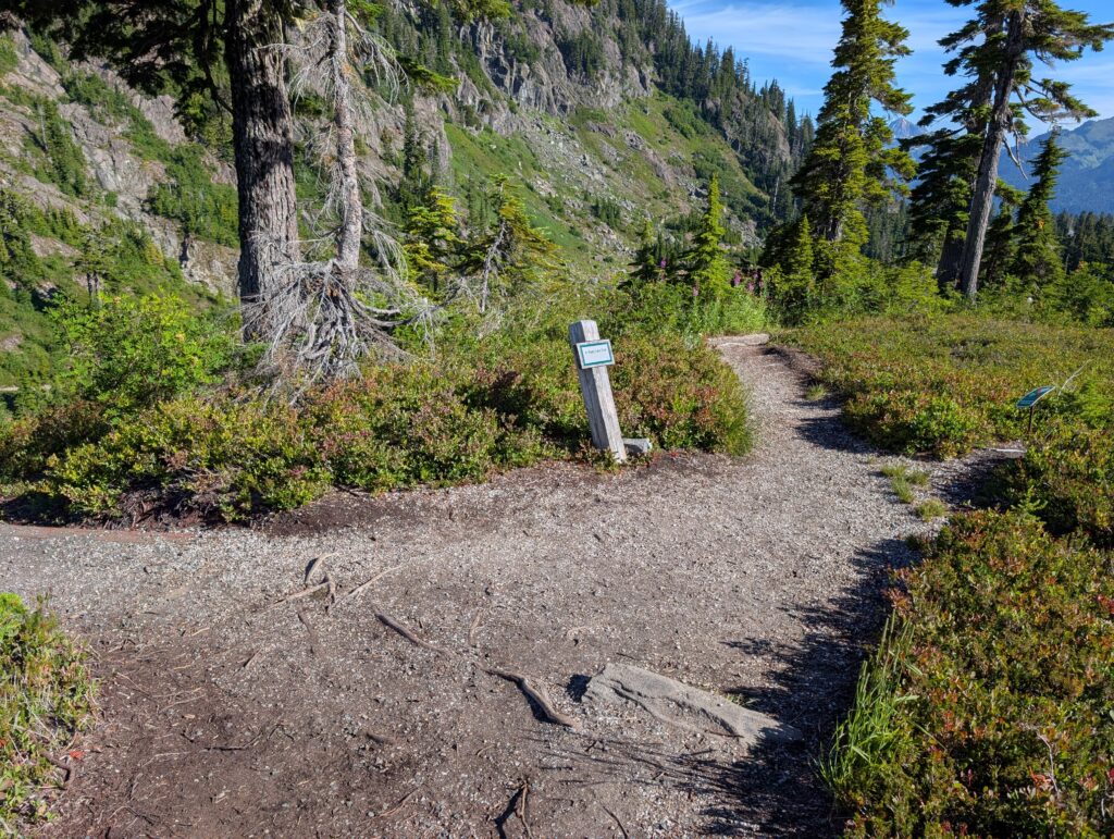
Then the trail is pretty straightforward the rest of the way. You’ll descend down to water level and there’s a neat stone bridge that takes you to the other side of Upper Bagley Lake.
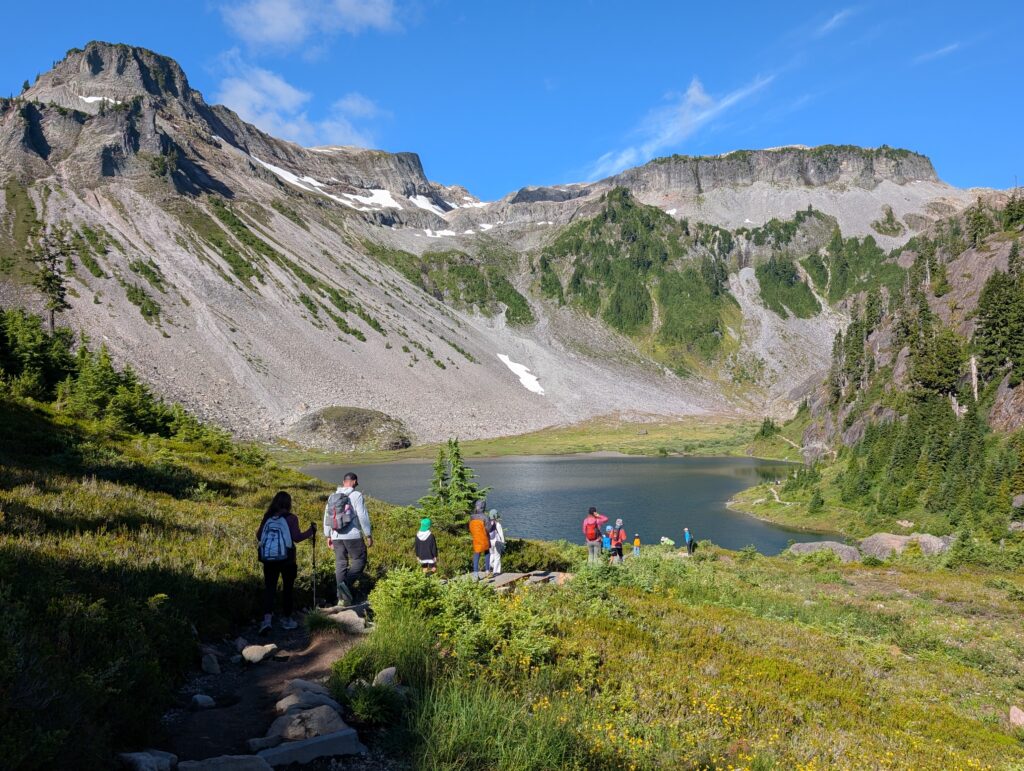
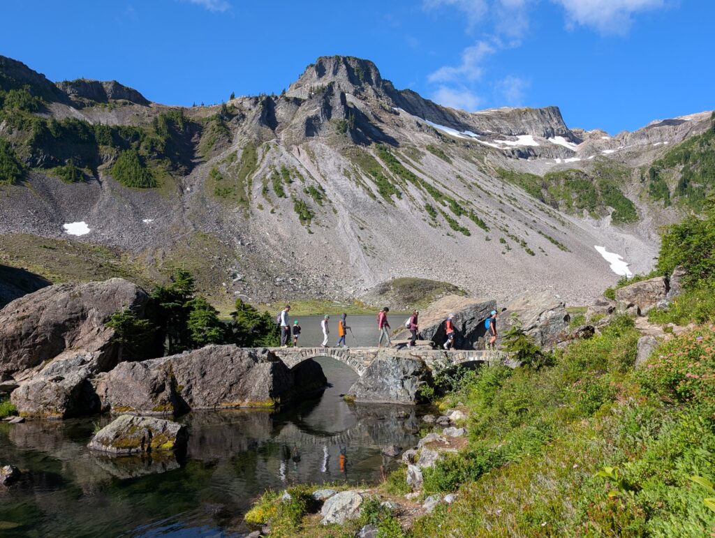
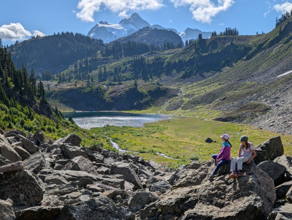
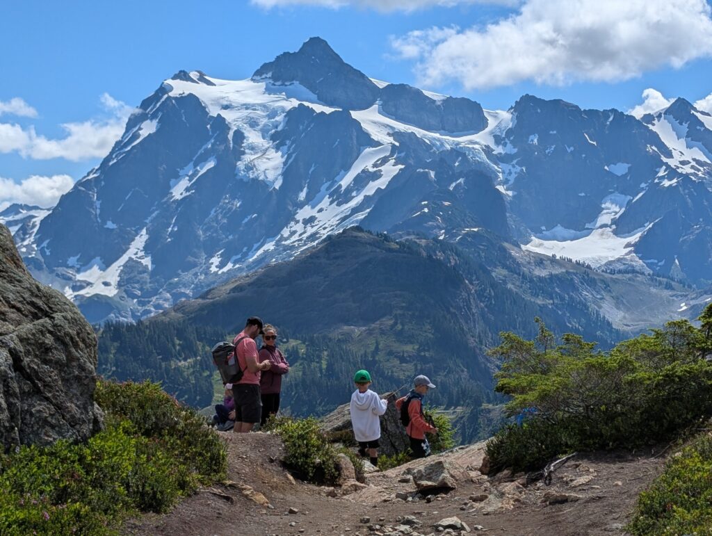
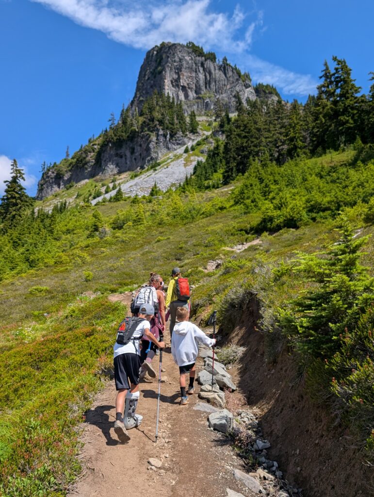
Once on the other side of Upper Bagley Lake, it’s a gentle uphill hike to Herman Saddle. There’s never a part that feels very steep, which is helped by several longer switchbacks. Make sure to turn around and see how Mount Shuksan (pronounced shuck-sin) comes into view as you ascend.
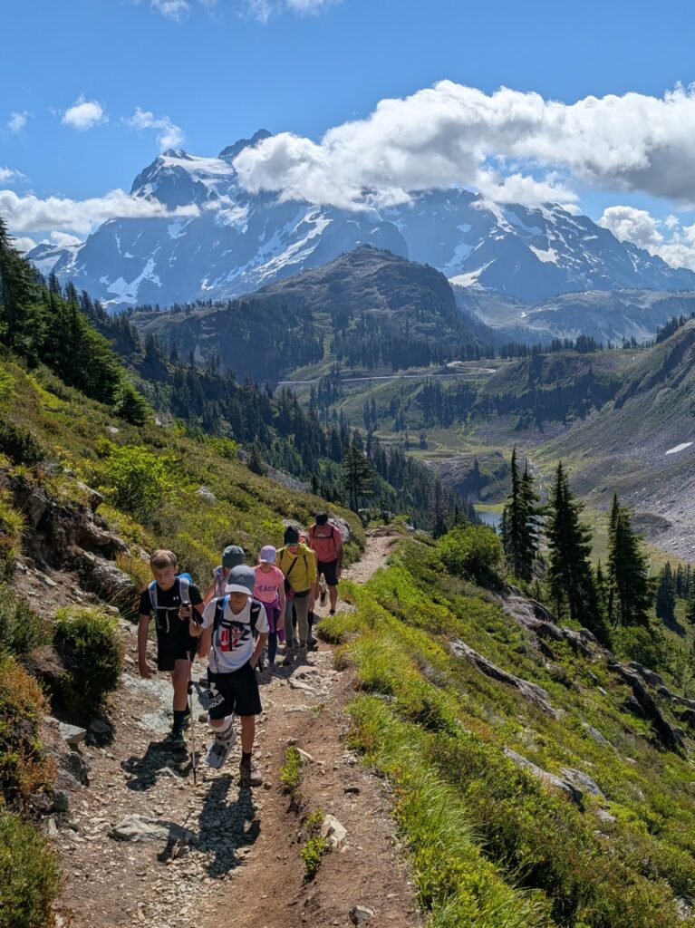
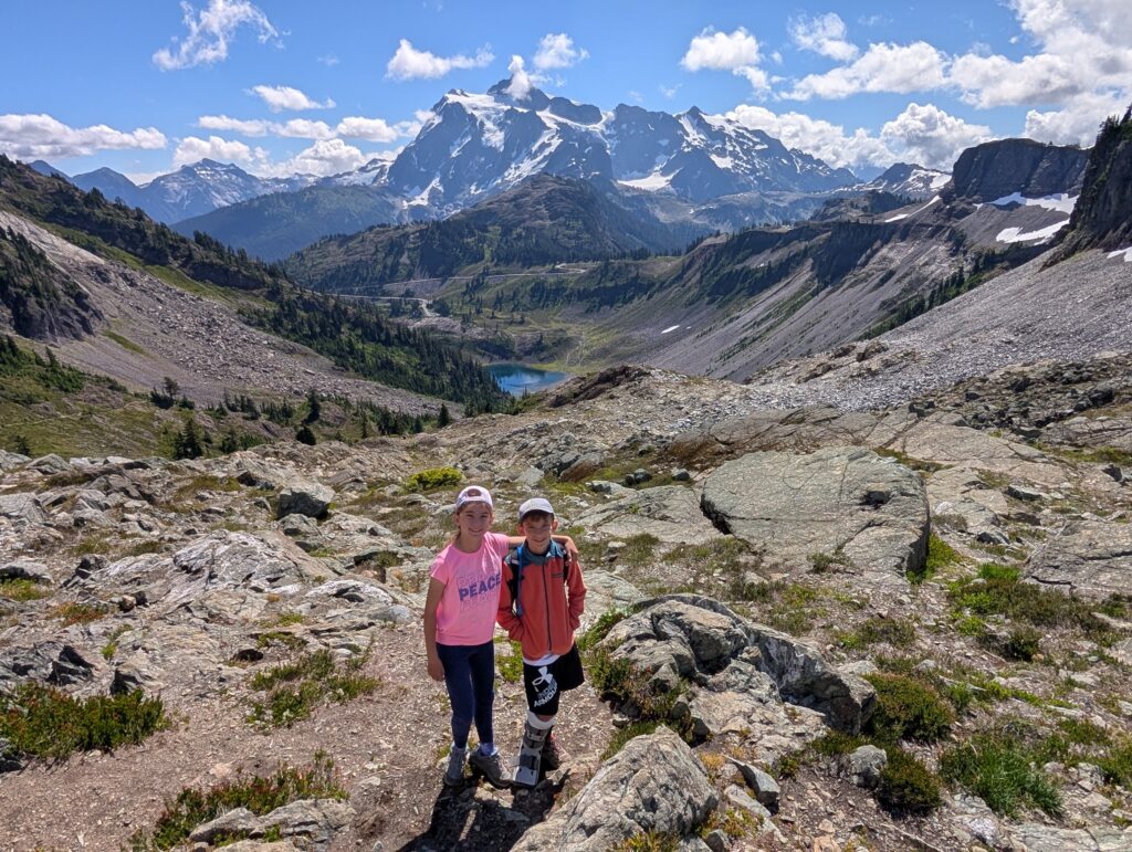
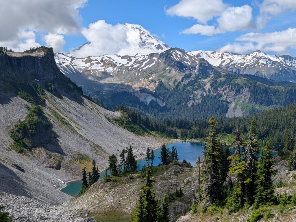
After 2 miles total and about 1,200 feet of elevation gain you’ll reach Herman Saddle. This is a great spot to take a break and enjoy what ended up being my favorite moment of the hike. Mount Shuksan is to the left and Mount Baker is to the right. If you’re lucky, you’ll have clear views of both. It was a little cloudy, more so around Baker, but the views are wonderful.
Herman Saddle to the lakes: 0.8 miles
From the saddle, the trail then descends towards Iceberg and Hayes Lakes. There’s not really a view of Iceberg Lake and Mount Baker without trees in the way, but there are several side trails to explore so you could see where they take you. Please make sure to stay off any vegetation and stick to established trails, however.
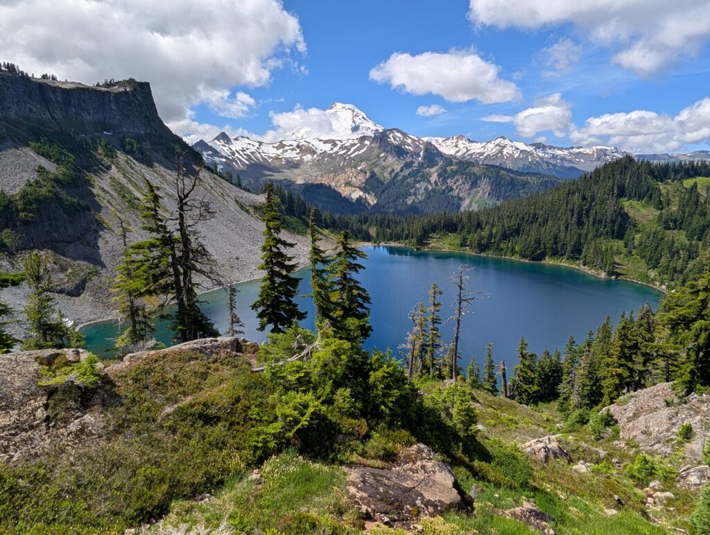
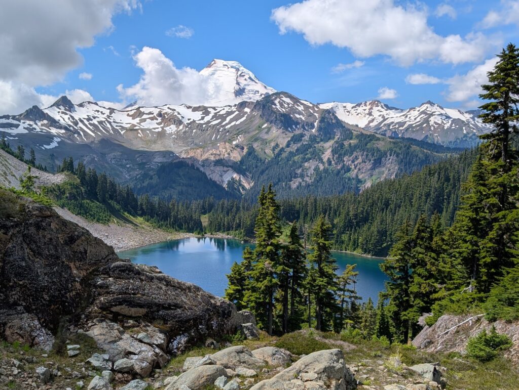
Mount Baker eventually goes completely out of sight as the trail passes between Hayes Lake to the right and Iceberg Lake to the left. Right by this trail split is a sign pointing towards the pit toilet by Iceberg Lake. There is a little privacy but you’ll still be somewhat in the open.
Hayes Lake has some nice camping spots and water access, but they aren’t along the main trail and you have to go a little bit in the opposite direction. There’s another lake, Arbuthnet, on the other side of Hayes, but we did not venture that way.
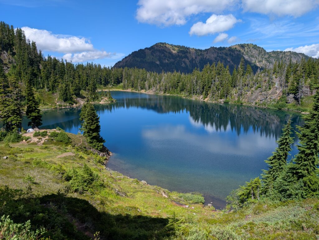
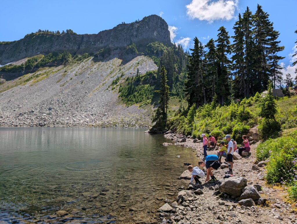
We continued counterclockwise to the left, curling around Iceberg Lake almost to its end where there is water access. Water shoes would be helpful if you have a light pair to put on the outside of your pack. A few of us got in the water, which was quite cold but actually not as bad as I imagined.
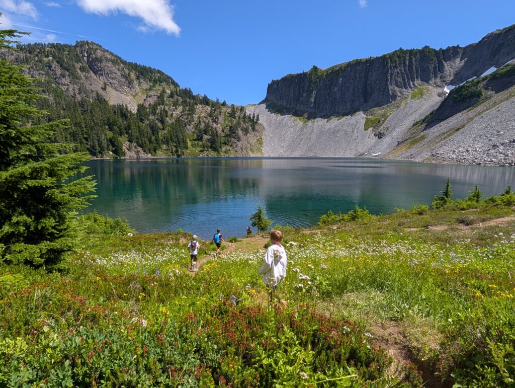
Iceberg Lake to Ptarmigan Ridge Trail intersection: 1.1 miles
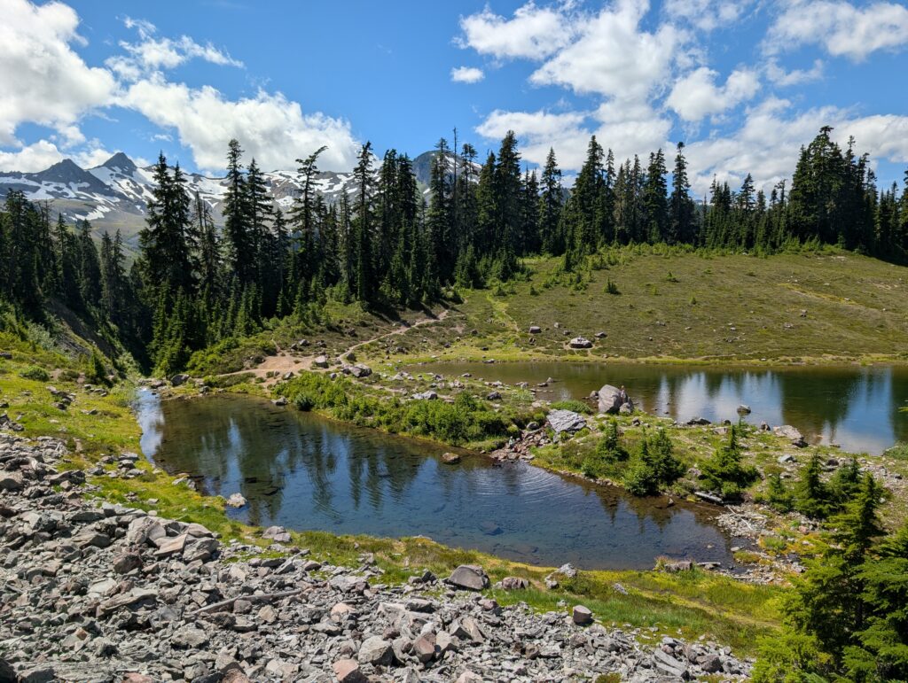
After Iceberg is probably the least scenic stretch. Mazama Lakes are next, which are quite small in comparison to the other lakes. Then the trail starts ascending, mostly on scattered rocks, and loops around Table Mountain.
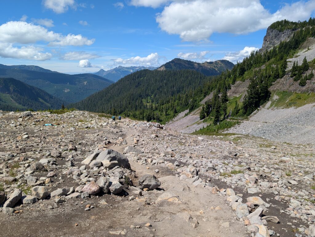
Back to the Chain Lakes Loop. Shortly after the trail levels off, it dead-ends at an intersection. To the right is the Ptarmigan Ridge Trail. I’ve never done it but it looks and sounds fantastic. The Chain Lakes Loop Trail goes to the left.
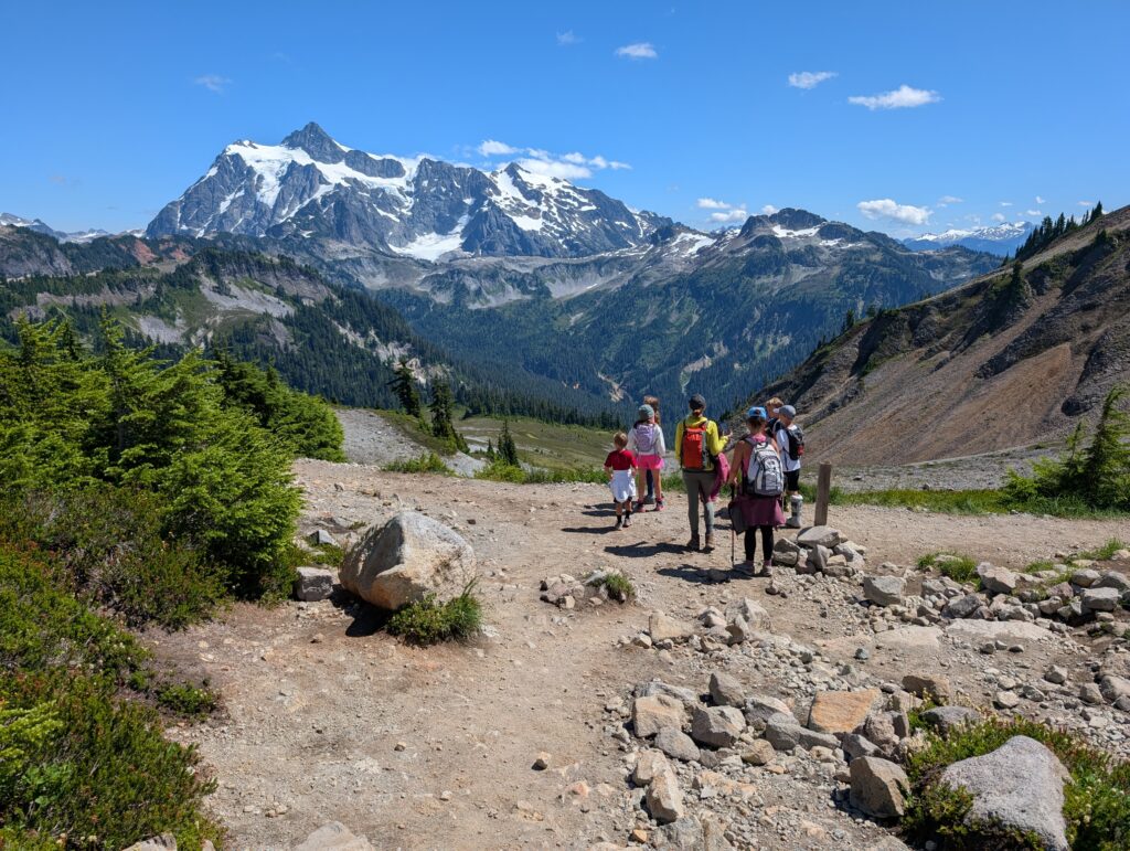
Ptarmigan Ridge Trail to Artist Point: 0.5 miles
As you can imagine with the above photo, Shuksan is on full display the whole way back to Artist Point. It’s an easier stretch but the trail can be narrow in spots with two-way traffic. A fall wouldn’t be fatal, but it wouldn’t be fun; take care. And make sure to turn around for amazing views of Baker! It was covered in the clouds for us, unfortunately.
You’d be walking towards Baker in this section if hiking clockwise, which might be the best stretch when going that direction. The intersection with Ptarmigan Ridge is about 0.5 miles from Artist Point.
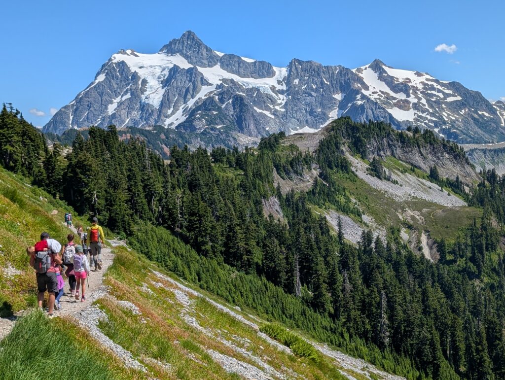
Artist Point back to Heather Meadows: 0.8 miles
There is a lot going on at Artist Point. It has the biggest parking lot in the area, restrooms, and is the starting point for multiple trails.
To get back to Heather Meadows (or Bagley Lakes Trailhead), head across the parking lot to the restrooms. To the right of them is a trail marker for the Wild Goose Trail.
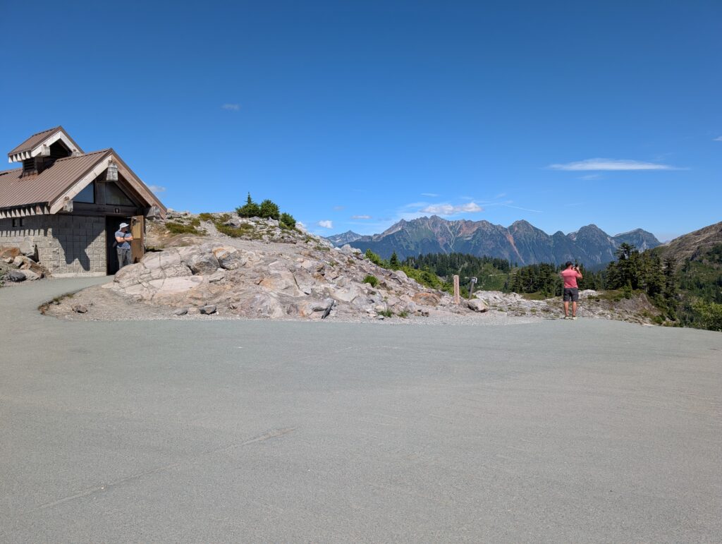
The trail eventually crosses over the road (be careful) and then descends sharply all the way back. There are sections of stairs to help with the steepness, which could be your least favorite part of the hike.
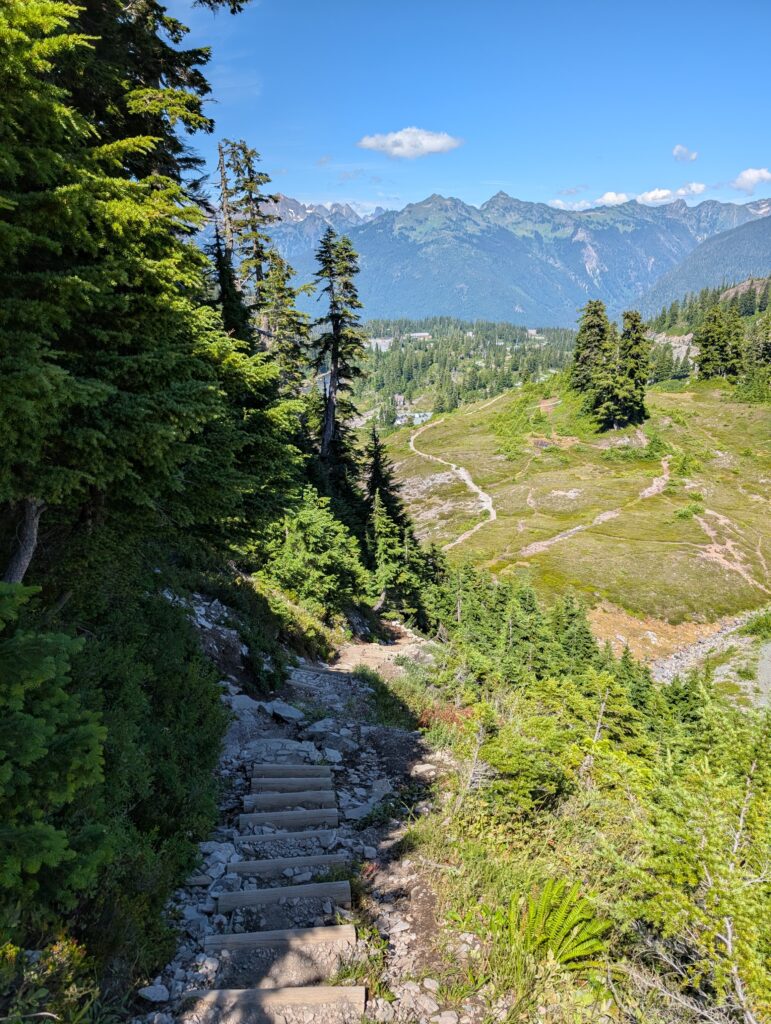
Heather Meadows is 0.8 miles from Artist Point. If you’re heading all the way to Bagley Lakes Trailhead, add about another 0.6 miles.
That’s it! Please leave a comment below if you have a question or any feedback on this guide.
Leave a reply